Matrices have been devised for certain routes, allowing the walker to check distances to and from public transport access points. The calculation for each cell includes the walk-in/out distances for the row/column pair of endpoints, but not the walk-past distances for intermediate links.
Greater Ridgeway
A 605km walk which chains the four paths which link Lyme Regis with the North Norfolk coast. Public transport connections are available at key staging points along the route.
Hertfordshire Way
A 264km circuit round the county, taking in Royston, St Albans, Tring station, Chipperfield Common, Aldenham, Hertford, Perry Green and Bishop’s Stortford. Public transport connections (54 locations, 3 matrices) are available throughout. Watford and Stevenage make good base stations.
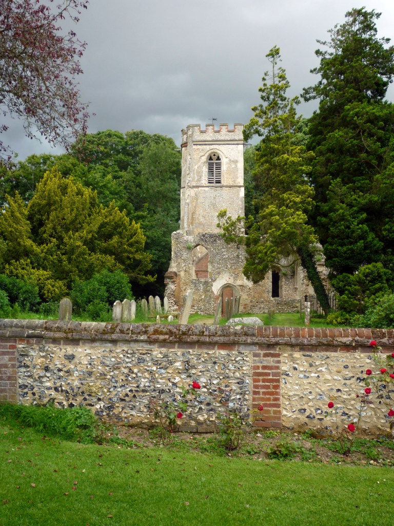
Image: Ayot St Lawrence
Disclaimer and advisory notices
Note that lwalks.london can accept no responsibility for content on an external site or in an external publication, nor for any action by an external site which renders our content or link outdated or unworkable. Furthermore, lwalks.london retains the liberty to unlink external content at any time if the content loses relevance to the linking page(s).
Images used on the lwalks.london site are either owned by lwalks.london, or are subject to a licence-to-use held by lwalks.london. These images must not be further used by any third party without the explicit permission of lwalks.london, or of the original image licensor. A small number of images are in the public domain.
Routes are to be followed entirely at the walker’s own risk: lwalks.london can take no responsibility for any inconvenience, damage, loss or injury caused by attempting to follow a route, which is no more than a mere suggestion of a possible enterprise.
We should be happy to learn of any changes to the line of a walk and/or its attendant facilities, or to consider an image which you own for inclusion on the site, lwalks.london thus being granted a free and non-exclusive licence to use the image anywhere on its site. Please contact us.
The Ridgeway
A 140km National Trail between Avebury (officially Overton Hill) and Ivinghoe Beacon, linking at its western end with the Wessex Ridgeway and at its eastern end with the Icknield Way Trail, and forming part of the Greater Ridgeway route. Public transport connections (34 locations, 2 matrices) are available throughout, though there are some long gaps in places. Swindon might serve as a base station in the west and Reading in the middle. However, overall, the most convenient single base station is London.
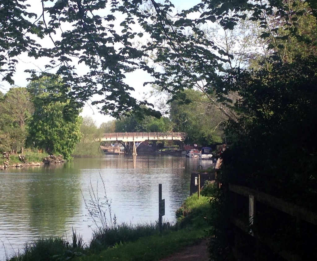
Image: Goring Bridge, crossed by the route
