Scotland came late to the idea of National Trails: for many years after the Pennine Way poked its toe into the Borders at Kirk Yetholm, the Scots were rather sniffy about them — “good enough for mere Englishmen, perhaps” was a common (and typically xenophobic) theme. In 1980, the West Highland Way opened, and it immediately became “Scotland’s Pennine Way”, a magnet for teenage rites of passage and for middle-aged ego-sponsorship alike, and equally but sadly, a magnet for abuse born out of over-use.
Other routes began to proliferate, and there is a broader range now, though for some perverse reason (further shades of xenophobic exceptionalism. perhaps?), they are not called National Trails as elsewhere, just [Scotland’s] Great Trails — an inconsistency which fails to help incoming walkers. As in other parts of the country, Scotland has its share of semi-official and unofficial routes.
My main experience of routes in Scotland includes
but of course, there have been many days out on the hills, from the Campsie Fells to the Cairngorms and the Cobbler, and from Tinto to Torridon, and other coast and country explorations.
Other coastal waymarked routes include
- Ayrshire Coastal Path — Glenapp to Wemyss Bay (146km)
- Berwickshire Coastal Path — Cockburnspath to Berwick-upon-Tweed (47km)
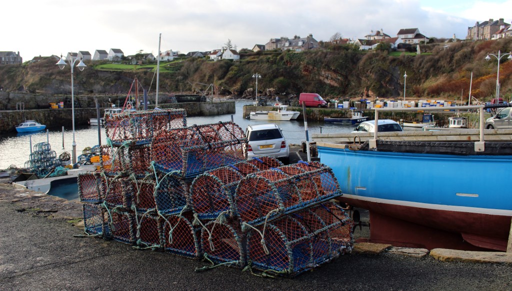
- Clyde Coastal Path — Wemyss Bay to Partick (67km)
- Loch Ryan Coastal Path — Stranraer to Glenapp (11km)
- Moray Coast Trail — Forres to Cullen (75km)
- Mull of Galloway Trail — Mull of Galloway to Stranraer (40km)
There is (as in England and in Wales) an aspiration to create an entire coastal route: both the Fife Coastal Path and the combination of the Loch Ryan Coastal Path, Ayrshire Coastal Path and Clyde Coastal Path, which together run the length of the Clyde from Stranraer to Partick, form major steps in this direction, though it will be much more difficult to achieve a fully waymarked route round Scotland. Much of the John Muir Way east of Edinburgh follows the coast, and links (by its extension) to the Berwickshire Coastal Path. Of course, the Berwickshire path technically ends at Marshall Meadows on the border, but for ease of logistics, it is described as extending to Berwick-upon-Tweed.
Walks which are generally inland include
- Annandale Way — Moffat to Annan (90km)
- Clyde Walkway — New Lanark to Partick (67km)
- Great Glen Way — Fort William to Inverness (126km)
- John Muir Way — Helensburgh to Dunbar (213km), with a 16km extension to Cockburnspath via Dunglass
- River Ayr Way — Glenbuck to Ayr (66km), though note that it is often used as a challenge route
- Speyside Way — Aviemore to Buckie (approximately 110km), with a 25km spur between Tomintoul and Ballindalloch
- West Highland Way — Milngavie to Fort William (154km)
- West Island Way (Bute) — Port Bannatyne to Kilchattan Bay (47km)
Disclaimer and advisory notices
Note that lwalks.london can accept no responsibility for content on an external site or in an external publication, nor for any action by an external site which renders our content or link outdated or unworkable. Furthermore, lwalks.london retains the liberty to unlink external content at any time if the content loses relevance to the linking page(s).
Images used on the lwalks.london site are either owned by lwalks.london, or are subject to a licence-to-use held by lwalks.london. These images must not be further used by any third party without the explicit permission of lwalks.london, or of the original image licensor. A small number of images are in the public domain.
Routes are to be followed entirely at the walker’s own risk: lwalks.london can take no responsibility for any inconvenience, damage, loss or injury caused by attempting to follow a route, which is no more than a mere suggestion of a possible enterprise.
We should be happy to learn of any changes to the line of a walk and/or its attendant facilities, or to consider an image which you own for inclusion on the site, lwalks.london thus being granted a free and non-exclusive licence to use the image anywhere on its site. Please contact us.
