Oxford Greenbelt Way
This 87km walk encircles Oxford. There are stretches of the Thames Path and the Oxford Canal towpath in the west. The route passes Radley station, almost reaches the centre of Abingdon, and almost encircles Kidlington. The conventional start and finish is at Sandhills park-and ride facility on the A40 east of Headington.
As far as I can make out, there are bus connections available at or near the locations listed below — bustimes.org should have the details. Allow 250m off-route walking to and from the bus stop (though often it will be much less), except where a greater distance is noted (e.g., at Abingdon). The first distance of each pair is the distance from the previous location, while the second is the cumulative distance from Sandhills in a clockwise direction.
- Sandhills park-and-ride facility — 0.0km; 0.0km
- Horspath — 3.3km; 3.3km
- Garsington — 3.0km; 6.3km
- Nuneham Courtenay — 5.3km; 11.6km
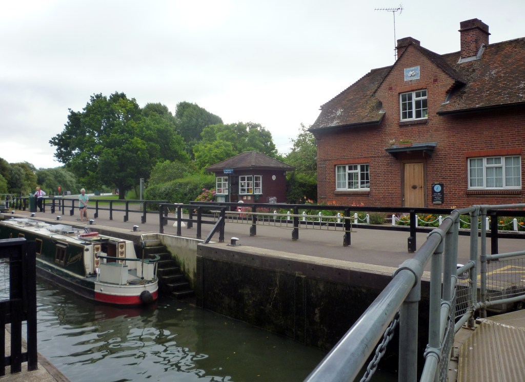
- Clifton Hampden (1km) — 4.5km; 16.1km
- Abingdon (900m) — 5.0km; 21.1km
- Radley station (rail) — 6.5km; 27.6km
- Lodge Hill — 2.5km; 30.1km
- Cumnor — 10.4km; 40.7km
- Farmoor — 6.9km; 47.6km
- Swinford Bridge — 1.8km; 49.4km
- Wolvercote — 5.6km; 55.0km
- Goose Green — 0.4km; 55.4km
- King’s Canal Bridge — 2.0km; 57.4km
- Yarnton Road — 1.9km; 59.3km
- Banbury Road — 2.1km; 61.4km
- Shipton-on-Cherwell — 1.8km; 63.2km
- Hampton Poyle — 2.5km; 65.7km
- Kidlington Church Street (500m) — 0.8km; 66.5km
- Bicester Road — 1.4km; 67.9km
- Beckley — 11.4km; 80.3km
- Mill Farm — 2.6km; 82.9km
- Sandhills park-and-ride facility — 4.5km; 87.4km
You will note the two intervals of over 10km at Lodge Hill and Kidlington.
