Tyne and Wear Heritage Way
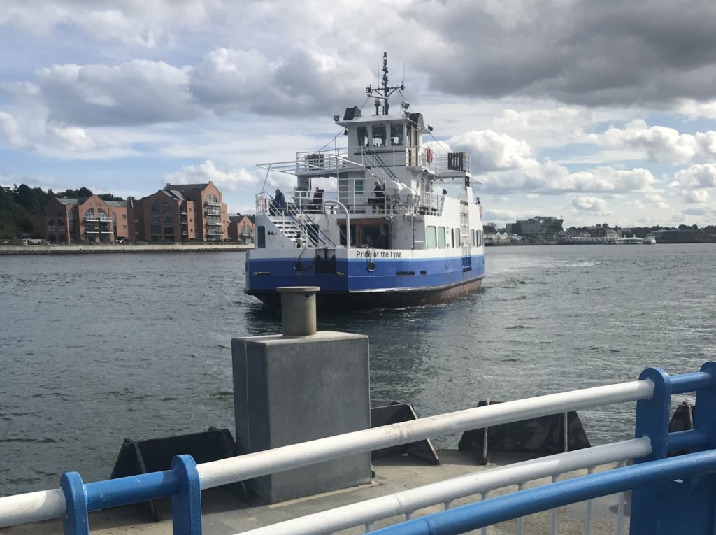
This 130km circular route encircles the Newcastle/Gateshead conurbation as far south as the River Wear, conventionally starting and finishing at the Shields Ferry via Seaton Sluice, Ponteland, Wylam and Sunderland.
I have mapped the route’s sections on the Ordnance Survey Maps Online (links are in the box): these will be more flexible than the static maps on the website.
The route’s website contains notes on the route and on its heritage points, but apart from connections at the breakpoints of the nine sections on the website, there is no public transport information, and none in the narrative — a regrettable omission at any time, but on a walk in and around an urban area, it is shocking. One must assume that the organisers have plenty of cars (and hunt in packs). ¡Ay car-rambler!
It seems to me that there are bus connections, excepting school services, tidal rush-hour-only routes, and one-day-per-week services, as follows — bustimes.org should have the details. Note the sketchy service along the southern flank. The pairs of distances shown are (firstly) between stops and (secondly) cumulative from North Shields.
- North Shields to Seaton Sluice throughout (also Metro between North Shields and Whitley Bay) — 0.0km to 12.4km
- Holywell — 5.3km; 17.7km
- Camperdown — 9.3km; 27.0km
- Wideopen — 3.0km;30.0km
- Dinnington — 5.5km; 35.5km
- Ponteland — 4.9km; 40.4km
- Throckley— (8.2km; 48.6km
- Wylam — 5.8km; 54.4km
- High Spen (650m distant) — 9.6km; 64.0km
- Barlow — 1.6km; 65.6km
- Thornley Woodland Centre — 3.7km; 69.3km
- Beamish — 13.4km; 82.7km
- Kibblesworth — 5.0km; 87.7km
- Northdene — 6.6km; 94.3km
- South Hylton (also Metro) — 15.5km; 109.8km
- Southwick — 4.8km; 114.6km
- Monkwearmouth to South Shields throughout (also Metro at Monkwearmouth and South Shields) — 1.8km; 116.4km to 135.2km
