Length: 17km (all of which walked recently)
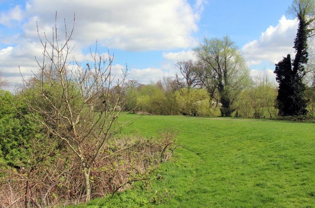
This walk, curated by the London Borough of Barnet, starts at Moat Mount on the A1, picks up the Dollis Brook at Totteridge Fields, and follows the brook to its becoming the River Brent, then cuts south-east to the borough boundary on the edge of Hampstead Heath, before running out to Golders Green station.
The route is shown on Ordnance Survey maps.
Disclaimer and advisory notices
Note that lwalks.london can accept no responsibility for content on an external site or in an external publication, nor for any action by an external site which renders our content or link outdated or unworkable. Furthermore, lwalks.london retains the liberty to unlink external content at any time if the content loses relevance to the linking page(s).
Images used on the lwalks.london site are either owned by lwalks.london, or are subject to a licence-to-use held by lwalks.london. These images must not be further used by any third party without the explicit permission of lwalks.london, or of the original image licensor. A small number of images are in the public domain.
Routes are to be followed entirely at the walker’s own risk: lwalks.london can take no responsibility for any inconvenience, damage, loss or injury caused by attempting to follow a route, which is no more than a mere suggestion of a possible enterprise.
We should be happy to learn of any changes to the line of a walk and/or its attendant facilities, or to consider an image which you own for inclusion on the site, lwalks.london thus being granted a free and non-exclusive licence to use the image anywhere on its site. Please contact us.
