Length — 32km (completed 2021)
Hillingdon is the tall blocky-shaped borough which takes up the west side of the city from Heathrow north. The borough is almost 50% green space, and the local council’s Hillingdon Trail weaves a way through most of it: there is hardly any urban walking at all. This is a sterling piece of planning.
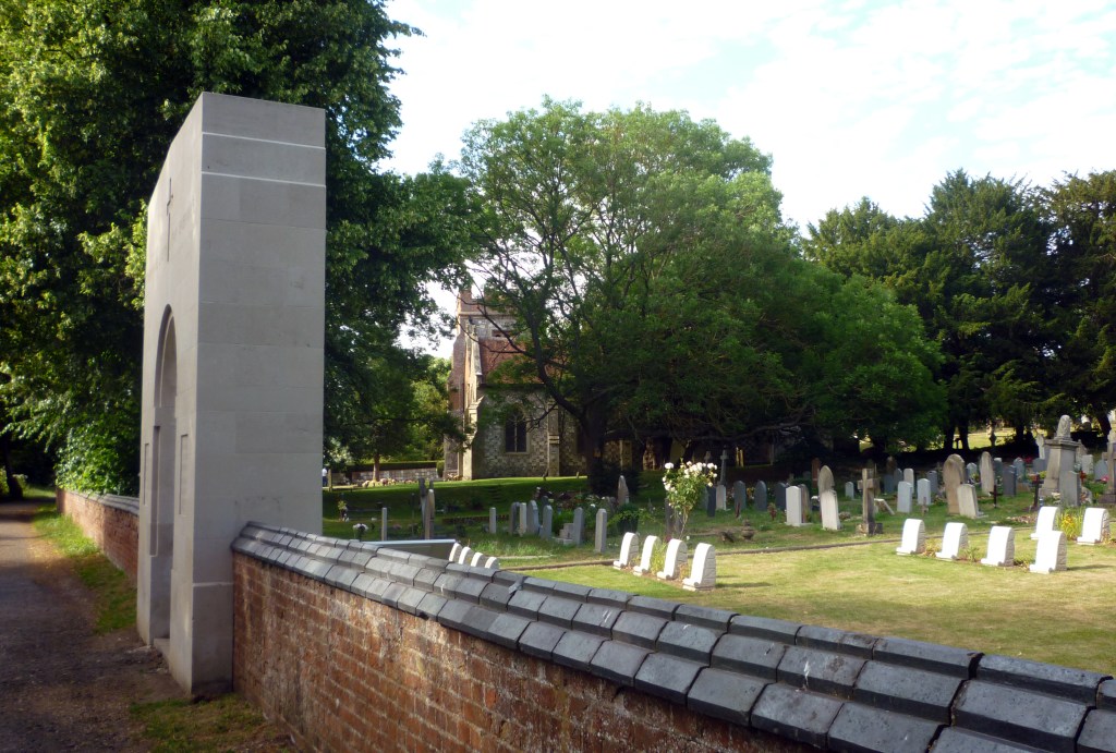
The start at Cranford church, by the roar of the M4, may be reached easily from the A4 in Cranford village (there are many bus options) or from North Hyde Road in Hayes. Alternatively, Hatton Cross station on the airport-bound Piccadilly line will give you a very pleasant access to the start at the church via the London Loop, adding around 4km.
At the north end, the route finishes on the canal half-way between Harefield (bus at Harefield West) and Rickmansworth (Metropolitan Line) at the borough boundary: not ideal, but with a clear walk on the towpath out to transport.
The walk splits into almost equal halves at Ruislip Lido, which has refreshments and a bus service to Ruislip station. Bus stops en route are located as follows:
- Hayes — North Hyde Road
- Hayes End — Uxbridge Road
- Yeading — Yeading Lane, Kingshill Avenue
- Hillingdon — Hillingdon station (also Metropolitan Line)
- Ickenham — Ickenham High Road (also nearby Metropolitan and Central Lines)
- Ruislip — Ruislip Lido
- Harefield — Dovedale Close, Harefield West
Hillingdon Trail details are published by the London Borough of Hillingdon, with sketch maps and detailed route descriptions in sections linked from the Trail’s homepage. They give sectional distances rounded up to a mile (really!): the route measures 32km.
HS2 works have closed off the path to the west of West Ruislip station.
- Northbound, continue on Ickenham High Road past the station, and turn left onto Clack Lane (opposite a petrol station) to rejoin the original Trail route part-way along.
- Southbound, stay on Clack Lane to its end, then turn right to follow Ickenham Road to the station, then Ickenham High Road to Austin’s Lane, where turn left on the original Trail route.
South of the A4020, major housing development will change the environs of the path, but it is to be hoped that canalside calm will prevail.
Disclaimer and advisory notices
Note that lwalks.london can accept no responsibility for content on an external site or in an external publication, nor for any action by an external site which renders our content or link outdated or unworkable. Furthermore, lwalks.london retains the liberty to unlink external content at any time if the content loses relevance to the linking page(s).
Images used on the lwalks.london site are either owned by lwalks.london, or are subject to a licence-to-use held by lwalks.london. These images must not be further used by any third party without the explicit permission of lwalks.london, or of the original image licensor. A small number of images are in the public domain.
Routes are to be followed entirely at the walker’s own risk: lwalks.london can take no responsibility for any inconvenience, damage, loss or injury caused by attempting to follow a route, which is no more than a mere suggestion of a possible enterprise.
We should be happy to learn of any changes to the line of a walk and/or its attendant facilities, or to consider an image which you own for inclusion on the site, lwalks.london thus being granted a free and non-exclusive licence to use the image anywhere on its site. Please contact us.
