Length — 126km (walk completed 2016; walked anticlockwise 2021)
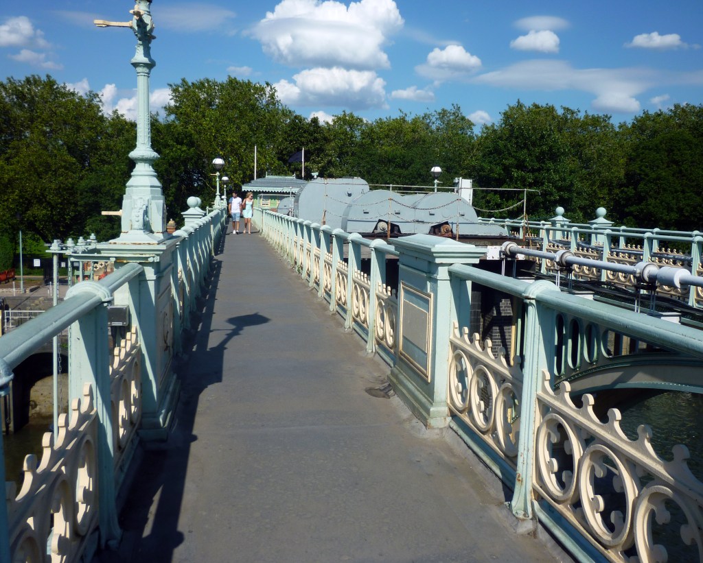
To all intents and purposes, this is the walker’s version of the North/South Circular Roads (the M25 equivalent is the London Loop). From Harrow Hill in the west to the Woolwich Foot Tunnel (or the Ferry) in the east, Highgate Woods and Crystal Palace in the north and south respectively, the route tries to employ parkland as much as possible. There are some real highlights here which are probably not well known outside the locality, for instance, the open apron (and inviting café) of Oxleas Meadows at Shooter’s Hill, the Brent valley in Hanwell, and the otherworldliness of Abney Park Cemetery in Stoke Newington are three such.
Some degree of street-slogging is needed in places, but the distances are limited. The use of a former railway line between Highgate and Finsbury Park gives access (along with other unspecified places) to autumnal berry-picking. I shall not say where the best sloes are to be found!
Of course, you are never far from public transport on the Ring, so there is almost infinite flexibility in deciding where to stop at the end of the day, and just how much to cover at a time.
I decided to walk the route again in the spring of 2021 (limbering up post-lockdown), but travelling anticlockwise from Richmond, against the grain of the guide-books. No real wayfinding problems, but there are places where it is clear that the waymarking was set out with a clockwise route in mind, and a complementary waymark placed for anticlockwise walkers. This leads to unnecessary directions in some areas, and missing directions elsewhere, e.g., where there is a fine fork in the path — obviously straight ahead coming clockwise, but which arm to take running anticlockwise?
The Capital Ring’s TfL site delivers excellent maps and directions, but for extra information (and armchair reading), I also recommend walkers to buy The Capital Ring, by Colin Saunders (Aurum, 2016; ISBN 978-1781315699).
Disclaimer and advisory notices
Note that lwalks.london can accept no responsibility for content on an external site or in an external publication, nor for any action by an external site which renders our content or link outdated or unworkable. Furthermore, lwalks.london retains the liberty to unlink external content at any time if the content loses relevance to the linking page(s).
Images used on the lwalks.london site are either owned by lwalks.london, or are subject to a licence-to-use held by lwalks.london. These images must not be further used by any third party without the explicit permission of lwalks.london, or of the original image licensor. A small number of images are in the public domain.
Routes are to be followed entirely at the walker’s own risk: lwalks.london can take no responsibility for any inconvenience, damage, loss or injury caused by attempting to follow a route, which is no more than a mere suggestion of a possible enterprise.
We should be happy to learn of any changes to the line of a walk and/or its attendant facilities, or to consider an image which you own for inclusion on the site, lwalks.london thus being granted a free and non-exclusive licence to use the image anywhere on its site. Please contact us.
