In 2019, I created and walked a set of nine routes, collectively called Get out of London!. These emanate from Trafalgar Square in the eight compass directions (east being represented on each bank of the Thames, therefore nine routes).
It is now time to start linking them up, using existing named (and, one hopes, waymarked) routes. This is the first sector of the circumcardinal walk, from Southend-on-Sea to Epping.
ENE sector — Southend-on-Sea to Epping
(82.50km; 916m ascent)
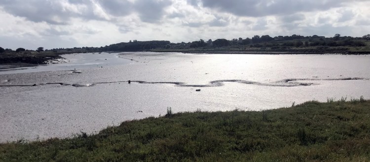
From Southend-on-Sea, the Saffron Trail (note: poor waymarking and, in places, poor maintenance) is followed as far as East Hanningfield, where the route changes to follow St Peter’s Way. The Essex Way is picked up at Chipping Ongar to see out the sector. From Leigh-on-Sea, the route of the Hadleigh-to-Stratford Legacy Walk is almost entirely coincident with the route.
| 01: Southend-on-Sea to Eastwood — 15.24km; 165m ascent Streets, sea front, woodland and fields | Map Directions |
| 02: Eastwood to Battlesbridge — 15.91km; 155m ascent Mainly green space; road at end | Map Directions |
| 03: Battlesbridge to East Hanningfield — 9.50km; 129m ascent Footpaths and lanes | Map Directions |
| 04: East Hanningfield to Margaretting — 14.73km; 127m ascent Footpaths, lanes and a low-headroom tunnel | Map Directions |
| 05: Margaretting to Chipping Ongar — 15.45km; 130m ascent Almost entirely fieldpaths | Map Directions |
| 06: Chipping Ongar to Epping — 12.03km; 147m ascent Fieldpaths, forest and lanes | Map Directions |
> Forward to NNE — Epping to Hatfield
Walk days
These are my research walk days for this sector.
- Day 1 — Southend-on-Sea to Hockley Woods (19.48km; 299m ascent)
- Day 2 — Hockley to East Hanningfield — repeated an extra day following serious bramble/briar attacks and minor diversions due to poor Saffron Way signage and maintenance (20.33km; 205m ascent)
- Day 3 — East Hanningfield to Margaretting (14.70km; 119m ascent)
- Day 4 — Margaretting to Chipping Ongar (15.38km; 127m ascent)
- Day 5 — Chipping Ongar to Epping (12.00km; 152m ascent)
Disclaimer and advisory notices
Note that lwalks.london can accept no responsibility for content on an external site or in an external publication, nor for any action by an external site which renders our content or link outdated or unworkable. Furthermore, lwalks.london retains the liberty to unlink external content at any time if the content loses relevance to the linking page(s).
Images used on the lwalks.london site are either owned by lwalks.london, or are subject to a licence-to-use held by lwalks.london. These images must not be further used by any third party without the explicit permission of lwalks.london, or of the original image licensor. A small number of images are in the public domain.
Routes are to be followed entirely at the walker’s own risk: lwalks.london can take no responsibility for any inconvenience, damage, loss or injury caused by attempting to follow a route, which is no more than a mere suggestion of a possible enterprise.
We should be happy to learn of any changes to the line of a walk and/or its attendant facilities, or to consider an image which you own for inclusion on the site, lwalks.london thus being granted a free and non-exclusive licence to use the image anywhere on its site. Please contact us.
