Length — 45km (walked 2018)
This is the hilliest part of the route: in terms of the physical geography, you are crossing the valleys which feed the Croydon Basin. The southernmost point is reached on this section, as you visit a few posts on the south side of the M25. Walkers are advised to avoid the first stage of this section on race days at Epsom Downs: paths will be closed, and there will be no chance of peaceful walking among the crowds.
| 31: Tattenham Corner to Walton on the Hill — 3.15km; 69m ascent Straight-line boundary walking on an old path route. | Map Directions |
| 32: Walton on the Hill to Kingswood — 9.58km; 105m ascent Boundary paths, with a few streets to finish | Map Directions |
| 33: Kingswood to Hooley — 8.42km; 145m ascent Hilly; woodland to start, then streets and paths | Map Directions |
| 34: Hooley to Whyteleafe — 8.86km; 177m ascent Footpaths predominate | Map Directions |
| 35: Whyteleafe to Warlingham — 5.25km; 177.62m ascent Streets, then paths up out of the Caterham Valley. | Map Directions |
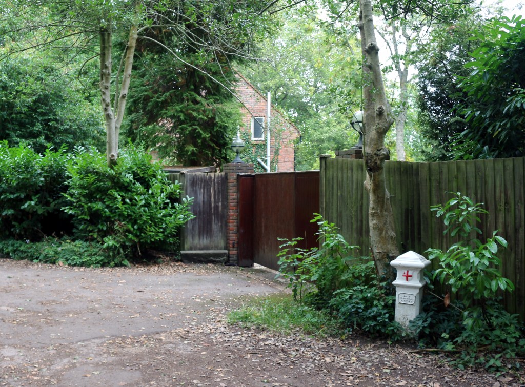
| 36: Warlingham to New Addington — 7.02km; 70m ascent Woodland footpaths with some linking roadwork | Map Directions |
| 37: New Addington to Leaves Green — 2.95km; 70m ascent Roads, then paths across a deep valley | Map Directions |
Disclaimer and advisory notices
Note that lwalks.london can accept no responsibility for content on an external site or in an external publication, nor for any action by an external site which renders our content or link outdated or unworkable. Furthermore, lwalks.london retains the liberty to unlink external content at any time if the content loses relevance to the linking page(s).
Images used on the lwalks.london site are either owned by lwalks.london, or are subject to a licence-to-use held by lwalks.london. These images must not be further used by any third party without the explicit permission of lwalks.london, or of the original image licensor. A small number of images are in the public domain.
Routes are to be followed entirely at the walker’s own risk: lwalks.london can take no responsibility for any inconvenience, damage, loss or injury caused by attempting to follow a route, which is no more than a mere suggestion of a possible enterprise.
We should be happy to learn of any changes to the line of a walk and/or its attendant facilities, or to consider an image which you own for inclusion on the site, lwalks.london thus being granted a free and non-exclusive licence to use the image anywhere on its site. Please contact us.
