Length — 49km (walked 2018)
This section turns out to link the first two headquarters of the Royal Flying Corps, which became the Royal Air Force. Biggin Hill was chosen to replace the original RFC site at Joyce Green. After the first section, which contains the final switchbacks of the Croydon Basin, the route descends to the Thames, gradually losing height.
| 38: Leaves Green to Cudham — 7.68km; 154m ascent Predominantly fieldpaths and woodland walking | Map Directions |
| 39: Cudham to Chelsfield station — 7.09km; 61m ascent Mainly footoaths with a few streets at the end | Map Directions |
| 40: Chelsfield station to Chelsfield village — 4.75km; 63m ascent Parkland, woodland, and some streets | Map Directions |
| 41: Chelsfield village to Swanley — 8.04km; 79m ascent Largely paths and lanes, with a few streets at Crockenhill | Map Directions |
| 42: Swanley to Baldwyns Park — 7.66km; 91m ascent Woodland paths, bookended by a few streets | Map Directions |
| 43: Baldwyns Park to Barnes Cray — 5.78km; 88m ascent Mainly suburban streets, with Dartford Heath as a sandwich | Map Directions |
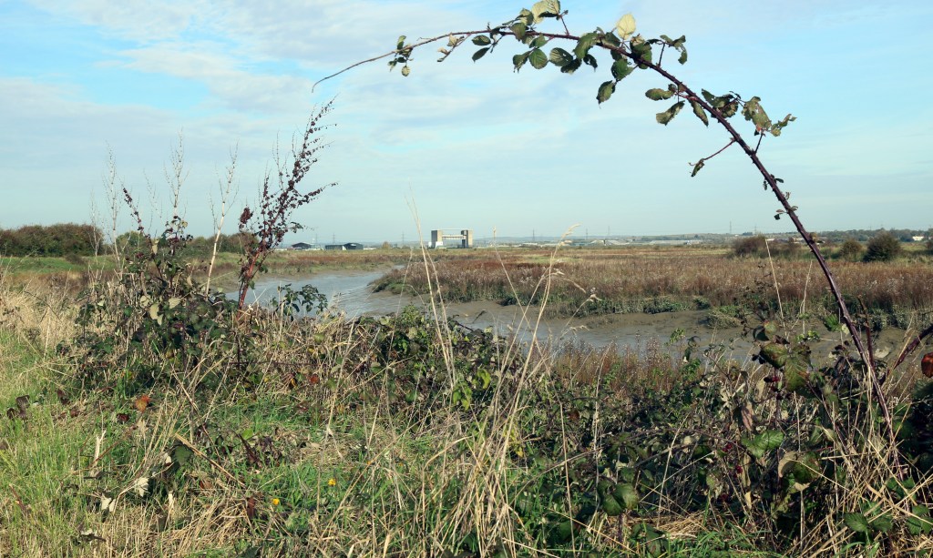
| 44: Barnes Cray to Erith station — 7.93km; 66m ascent Persist beyond the ugly start for riverside walking, with streets in Erith | Map Directions |
Disclaimer and advisory notices
Note that lwalks.london can accept no responsibility for content on an external site or in an external publication, nor for any action by an external site which renders our content or link outdated or unworkable. Furthermore, lwalks.london retains the liberty to unlink external content at any time if the content loses relevance to the linking page(s).
Images used on the lwalks.london site are either owned by lwalks.london, or are subject to a licence-to-use held by lwalks.london. These images must not be further used by any third party without the explicit permission of lwalks.london, or of the original image licensor. A small number of images are in the public domain.
Routes are to be followed entirely at the walker’s own risk: lwalks.london can take no responsibility for any inconvenience, damage, loss or injury caused by attempting to follow a route, which is no more than a mere suggestion of a possible enterprise.
We should be happy to learn of any changes to the line of a walk and/or its attendant facilities, or to consider an image which you own for inclusion on the site, lwalks.london thus being granted a free and non-exclusive licence to use the image anywhere on its site. Please contact us.
