Walked — July/August 2019
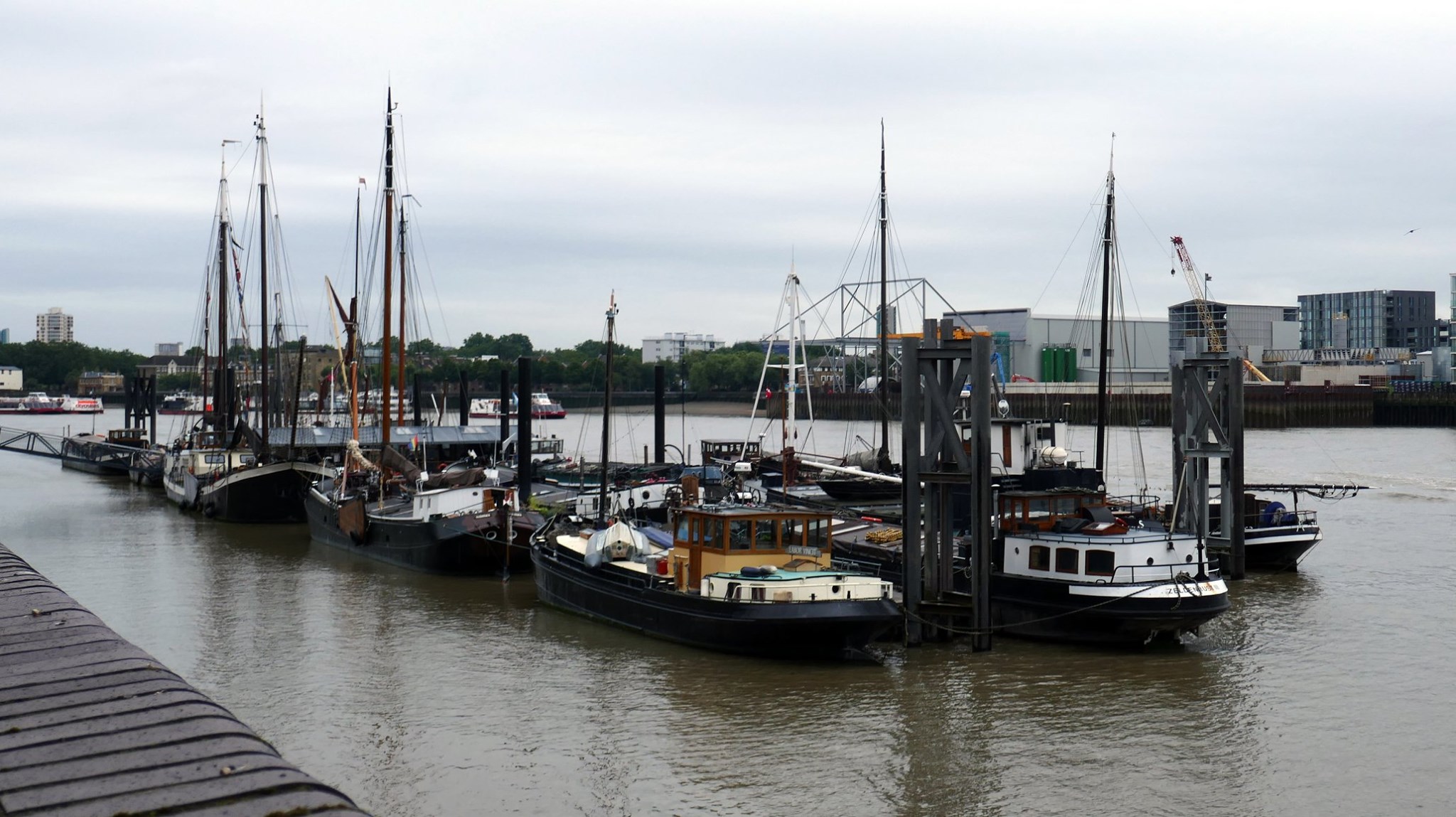
This route. one of the radial Get out of London! routes, starts by going through Embankment Gardens; it then follows the Thames Path as far as Limehouse. Barking is reached via the Limehouse Cut and the Greenway, and an alternation of streetscape and parkland leads to the M25.
The original idea was to end the route at Tilbury, thus corresponding with the other eastern route which arrives across the river at Gravesend. However, there is really no connection to the national network of paths (except by taking the ferry to Gravesend), and the England Coast Path will not arrive in style here for some years. The full route, therefore, continues to Southend-on-Sea, using what is becoming known as the Thames Estuary Path as far as Benfleet, then through Hadleigh Park to finish along the shore path from Leigh-on-Sea to Southend-on-Sea. The total distance is not quite 100km, with around 330m ascent, but with the likelihood of connection distances (notably for Stanford-le-Hope), the walker is almost certain to top 100km.
There are public transport connections throughout, though between Corringham and Pitsea, the only link is a 2km walk-out/in between Mucking and Stanford-le-Hope (bus and rail). The walk is accessible from anywhere in the Greater London conurbation.The route is described in a single document, and maps are referenced below.
| 1: Trafalgar Square to Beckton Alps — 16.1km; 44m ascent Riverside walking from Hungerford Bridge to Wapping, then canal and the Greenway. | Map |
| 2: Beckton Alps to Ingrebourne Valley — 15.6km; 31m ascent Parkland interspersed with streets. | Map |
| 3: Ingrebourne Valley to Chadwell St Mary — 16.9km; 75m ascent Mainly rural with some streets and country lanes. | Map |
| 4: Chadwell St Mary to Mucking — 16.3km; 23m ascent Solitude all the way from Tilbury fort. | Map |
| 5: Mucking to Pitsea — 15.1km; 58m ascent Except for Corringham and Fobbing, large skies and solitude | Map |
| 6: Pitsea to Southend-on-Sea — 16.5km; 99m ascent Hadleigh Marsh, then the water’s edge | Map |
Disclaimer and advisory notices
Note that lwalks.london can accept no responsibility for content on an external site or in an external publication, nor for any action by an external site which renders our content or link outdated or unworkable. Furthermore, lwalks.london retains the liberty to unlink external content at any time if the content loses relevance to the linking page(s).
Images used on the lwalks.london site are either owned by lwalks.london, or are subject to a licence-to-use held by lwalks.london. These images must not be further used by any third party without the explicit permission of lwalks.london, or of the original image licensor. A small number of images are in the public domain.
Routes are to be followed entirely at the walker’s own risk: lwalks.london can take no responsibility for any inconvenience, damage, loss or injury caused by attempting to follow a route, which is no more than a mere suggestion of a possible enterprise.
We should be happy to learn of any changes to the line of a walk and/or its attendant facilities, or to consider an image which you own for inclusion on the site, lwalks.london thus being granted a free and non-exclusive licence to use the image anywhere on its site. Please contact us.
