Denham to Princes Risborough (43.09km; 670m ascent)
From Denham to Princes Risborough, the route finds itself in the Chiltern Hills. From Denham, there is a very short stage alongside the track to the quaint little station of Denham Golf Club, then a climb out of the Misbourne valley to Gerrards Cross — avoiding what might seem the obvious route to the north, because it’s too far on a twisty little road with no footpath, and also because there are facilities at Tatling End.
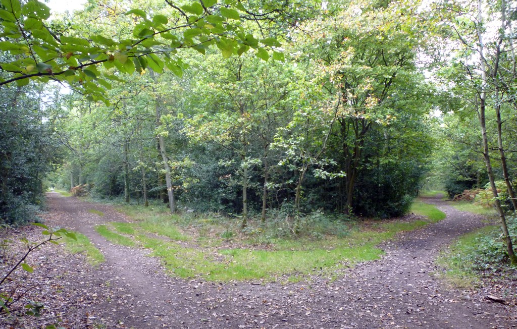
Beyond the suburbia of Gerrards Cross, the route takes on a much more rural aspect, with only the small settlements of Jordans (important in Quaker history and the resting-place of William Penn, no matter how many times Pennsylvanians try to steal the body) and Seer Green, before a short burst of suburbia in Beaconsfield.
The route then returns to the high ground before descending to the River Wye at Loudwater; it then follows the valley up to High Wycombe. Beyond High Wycombe, the route returns to the hills to Saunderton, then the smaller hills carry the route to Princes Risborough.
| 8: Denham to Denham Golf Club — 1.63km; 14m ascent Paths and lanes | Map Directions |
| 9: Denham Golf Club to Gerrards Cross — 4.64km; 50m ascent Paths and streets | Map Directions |
| 10: Gerrards Cross to Seer Green and Jordans — 5.33km; 71m ascent Almost entirely footpaths | Map Directions |
| 11: Seer Green and Jordans to Beaconsfield — 4.74km; 39m ascent Footpaths, then streets through Beaconsfield — awaiting final checks | Map Directions |
| 12: Beaconsfield to High Wycombe — 9.90km; 163m ascent Fieldpaths to Loudwater, then parks and streets — awaiting final checks | Map Directions |
| 13: High Wycombe to Saunderton — 9.77km; 226m ascent Streets, parks, woods and fields — awaiting final checks | Map Directions |
| 14: Saunderton to Princes Risborough — 7.08km; 107m ascent Almost entirely fieldpaths — awaiting final checks | Map Directions |
< Back to London
> Forward to Greater Oxfordshire
Disclaimer and advisory notices
Note that lwalks.london can accept no responsibility for content on an external site or in an external publication, nor for any action by an external site which renders our content or link outdated or unworkable. Furthermore, lwalks.london retains the liberty to unlink external content at any time if the content loses relevance to the linking page(s).
Images used on the lwalks.london site are either owned by lwalks.london, or are subject to a licence-to-use held by lwalks.london. These images must not be further used by any third party without the explicit permission of lwalks.london, or of the original image licensor. A small number of images are in the public domain.
Routes are to be followed entirely at the walker’s own risk: lwalks.london can take no responsibility for any inconvenience, damage, loss or injury caused by attempting to follow a route, which is no more than a mere suggestion of a possible enterprise.
We should be happy to learn of any changes to the line of a walk and/or its attendant facilities, or to consider an image which you own for inclusion on the site, lwalks.london thus being granted a free and non-exclusive licence to use the image anywhere on its site. Please contact us.
