Armchair walking

The pandemic has curtailed my walking almost to zero: the 2019 Spring Bank Holiday weekend gave me more walking distance than the ten months since mid-February 2020. However, I have been walking, albeit sedentarily and in my mind, all year. I have been designing walks from 5km in length to 1500km in front of the screen, and I have acquired another bucketload of guides to read. In the past few weeks, these have included routes in UK and Netherlands, and sets of walks in UK and Germany: earlier in the year, routes and sets of walks in UK, France and Germany predominated.

I finally got round to cataloguing the books, mapsets and leaflets: the total now stands at 353; sixteen countries are represented, as are seven languages, in the collection. Of course, the route-notes are in a limited-vocabulary technical subset of the language of the book, so translation is less difficult than it might be, though one has to be able to distinguish between similar terms, such as rechtsaf and rechtdoor in Dutch (turn right and straight ahead respectively); you will agree that it an important distinction on approaching a junction.

So I have started reviewing some of the books for routes I have walked (from which I can judge accuracy of description) and those I have yet to walk (for clarity and persuasion). The nascent Books for Boots area on the site will gather in these reviews.
London Summits Walk, Capital C, and Hammersmith Bridge

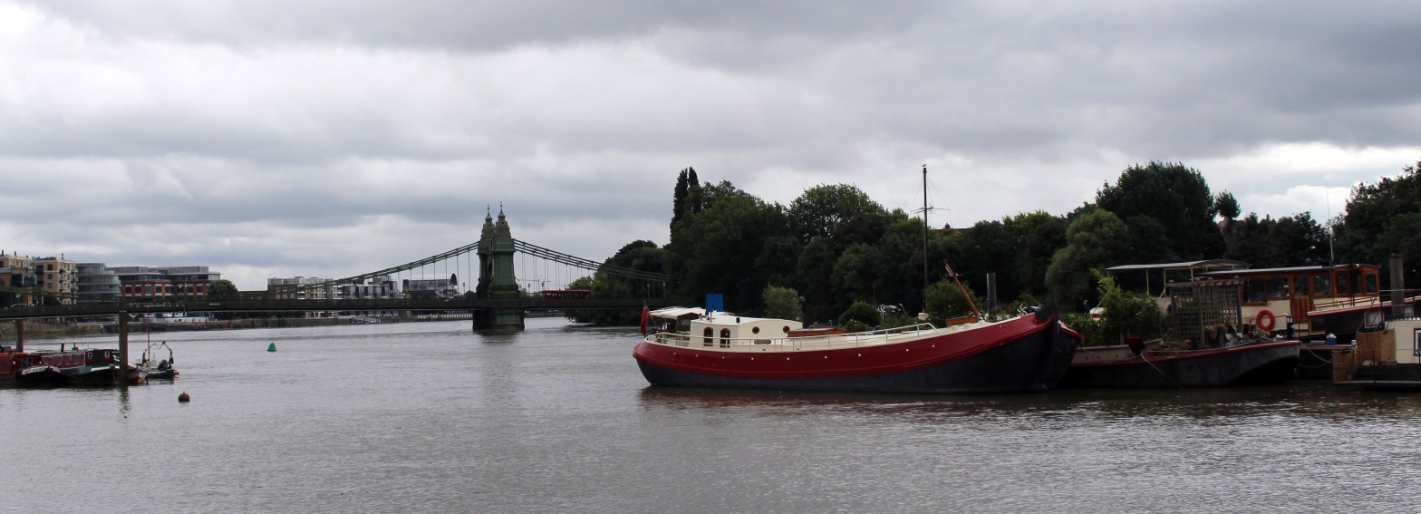
Hammersmith Bridge is now completely closed: this includes the riverside paths beneath the bridge. The 133-year-old structure is showing cracks in its cast iron, and these cracks have widened in recent weeks. For this reason, the route of the London Summits Walk (section 8) has been diverted via Putney Bridge, adding a little over 2km to the route.

I have mapped the route in the opposite direction: these map sections form the Capital C route.

These map sections (for both the London Summits Walk and the Capital C) are now made public on the OSMaps site.

One ‘dam thing after another

I swapped London for Utrecht, Rotterdam and Dordrecht at the weekend. I spent three hours on Saturday at Fiets- en Wandelbeurs in Utrecht, a vast expo on walking and cycling. Since I’d finished my business there in one day, I had Sunday free (before commuting straight to work on Monday morning by plane, Tube and bus, arriving in the office at 0825). I had picked up one of a set of books on urban walking in Dutch cities (with the strapline Guaranteed to break the rules): I chose Rotterdam (Wandelen buiten de binnenstad van Rotterdam, by Kees Volkers).

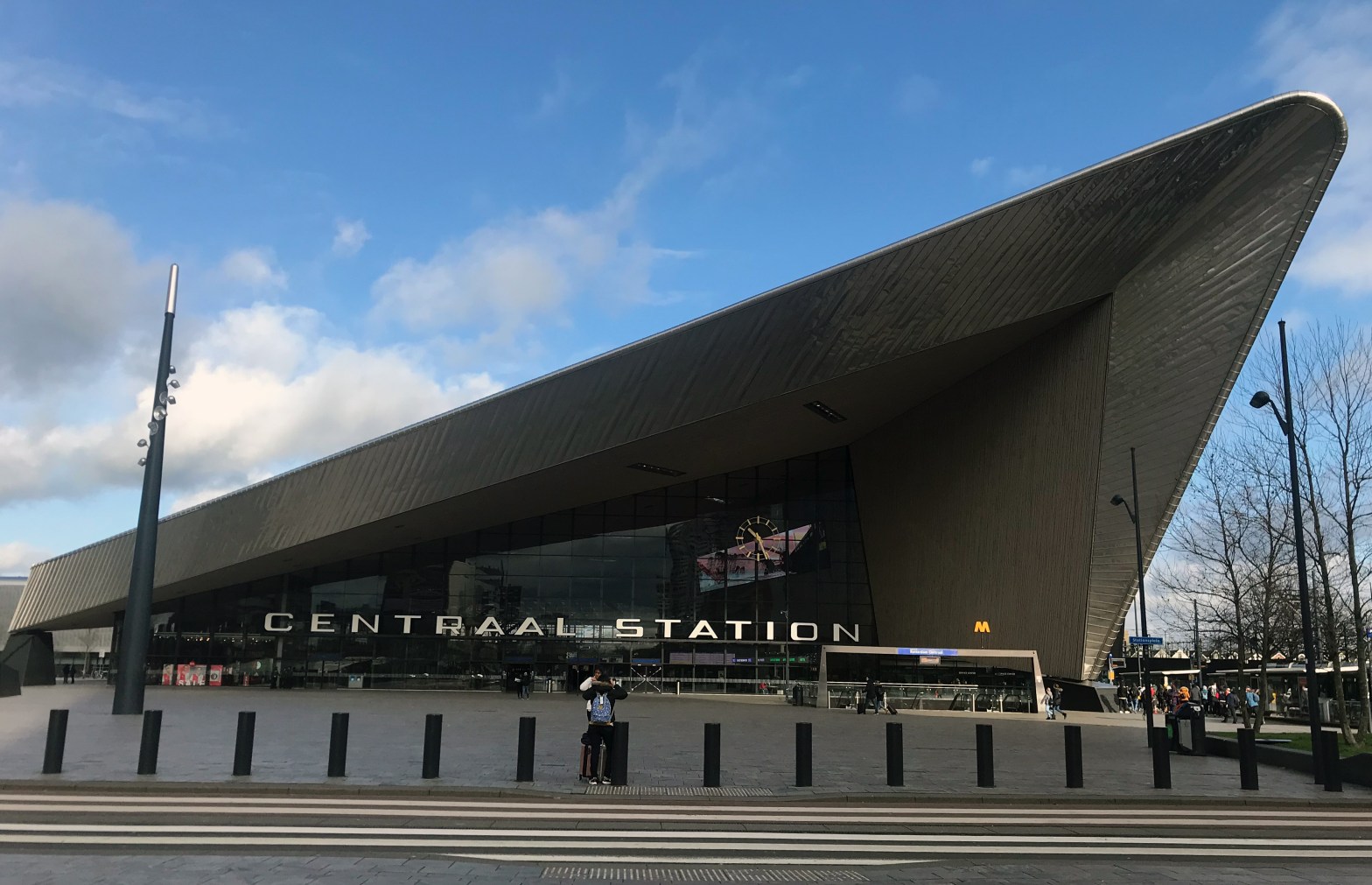
I managed 10km of a 15km circuit before the gnawing damp cold got to me (at 10am), whereupon I took a tram back to the station. The book works very well (it helps if you read Dutch, of course, but the map is clear and the directions are fairly obvious once you distinguish rechtsaf (turn to the right) and rechtdoor (straight ahead). My route took me from the station, starting along a moat dug to contain cholera (do we need to build coronavirus canals?), past the first tranche of post-war social housing (super reliefs of local industries over the doors), some early high-rise slabs, and the 1960s arterial routes. But also through fine parkland (one patch recalled 1950s designs from East Kilbride or Hatfield), and lots of waterside walking, of course. Herons, the standard waterfowl, and lots of great crested grebes (including one juvenile).

Rotterdam Rechter Maasoever

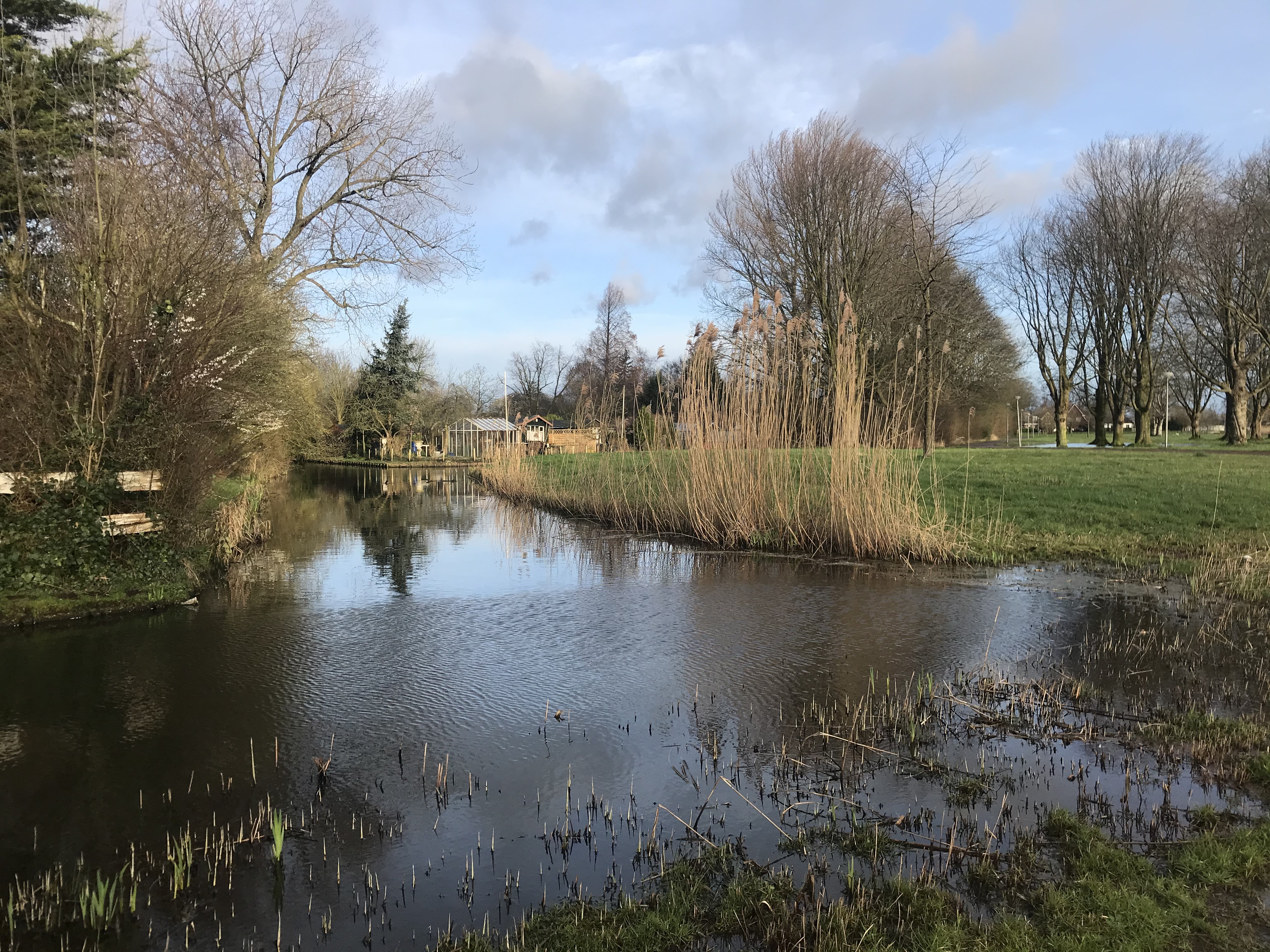
One aspect of life in Rotterdam which was clearly visible was the Volkstuin movement. Part allotments, but majoring on just having somewhere to be, these are miniature gardens for those who don’t have one, or who prefer to get farther away from the house. The picture above shows the tip of the Eigen Hof gardens, with the Rotterdam Rechter Maasoever watercourse. The only drawback I found with the book (presumably with all books in the series) is the complete lack of marking public transport stops on the map, and giving an indication of connections and frequencies.

I then decamped to Dordrecht and walked round its historic area (also tramping the obligatory 1km from the station to the place of the same name — it seems inevitable with so many European towns and cities). Lunch and a warm train back to Schiphol, as a storm straight out of The Flying Dutchman raged outside.

Dordrecht

A Ring around the Underground

For my next circuit of London, I decided to revisit a project started a few years ago, to put a ring around the Tube. Since my first musings on the subject, we have had Overground, TfL Rail (now out as far as Reading), DLR south of the river and trams, but the topology just does not work. So I return to link up the points which are true termini on the Tube. That means, for example, that Elephant and Castle does not count, since the Northern Line sails through en route for Morden.

The idea is not to cross any live Tube lines (above or below ground) with passenger service. Therefore we may, for example, cross the tracks east of Upminster between the station and the depot. By the way, this explains some of the topology problems with DLR and so on: to keep outside the route to Woolwich Arsenal, Upmister to Brixton becomes an outer anticlockwise loop via Hemel Hempstead, Epsom and Tulse Hill.

Three days’ walk in, I have covered the ground from Upminster to Brixton (using the Woolwich Foot Tunnel) and am just short of Morden. Another two days, and I shall be turning the corner at Terminal 5. So far, I have passed through country parks and municipal parks, explored old railway land and the huge (and fascinating) Becontree estate as it marks its centenary, I have crossed the only col in Greater London, and of course have walked beneath the Thames.

Lots more excitement to come.

Getting out of town

After a fallow quarter, the early May bank holiday weekend gave me the first of the set of Get out of town! walks. The choice of the northern route was informed by which Tube and train routes were being disrupted. An early Saturday start (at 0730) gave me the luxury of Trafalgar Square and Covent Garden without the crowds. The route was pleasantly quiet along the New River Path and through Clissold Park, but by the time I was walking through Finsbury Park and along the Parkland Walk, the hordes had stirred. I was debating the value of pushing on to High Barnet station (and having to climb off-route to reach it) as I approached Totteridge Lane around one o’clock: the first spots of rain made the decision for me, and I trotted up to the Tube station. The rain soon turned into a full-blown hailstorm, but by then I was safely on the train.

An early Sunday start appears to be anathema to TfL, so the second day’s walking was Monday. Sunday services on the Bank Holiday buses, so nothing till mid-morning from near home, but a brisk 2km gave me a train just after six, and a couple of buses across north London, and I was back at Totteridge Lane to start at 0720: again, very few people on the paths.

hadley2
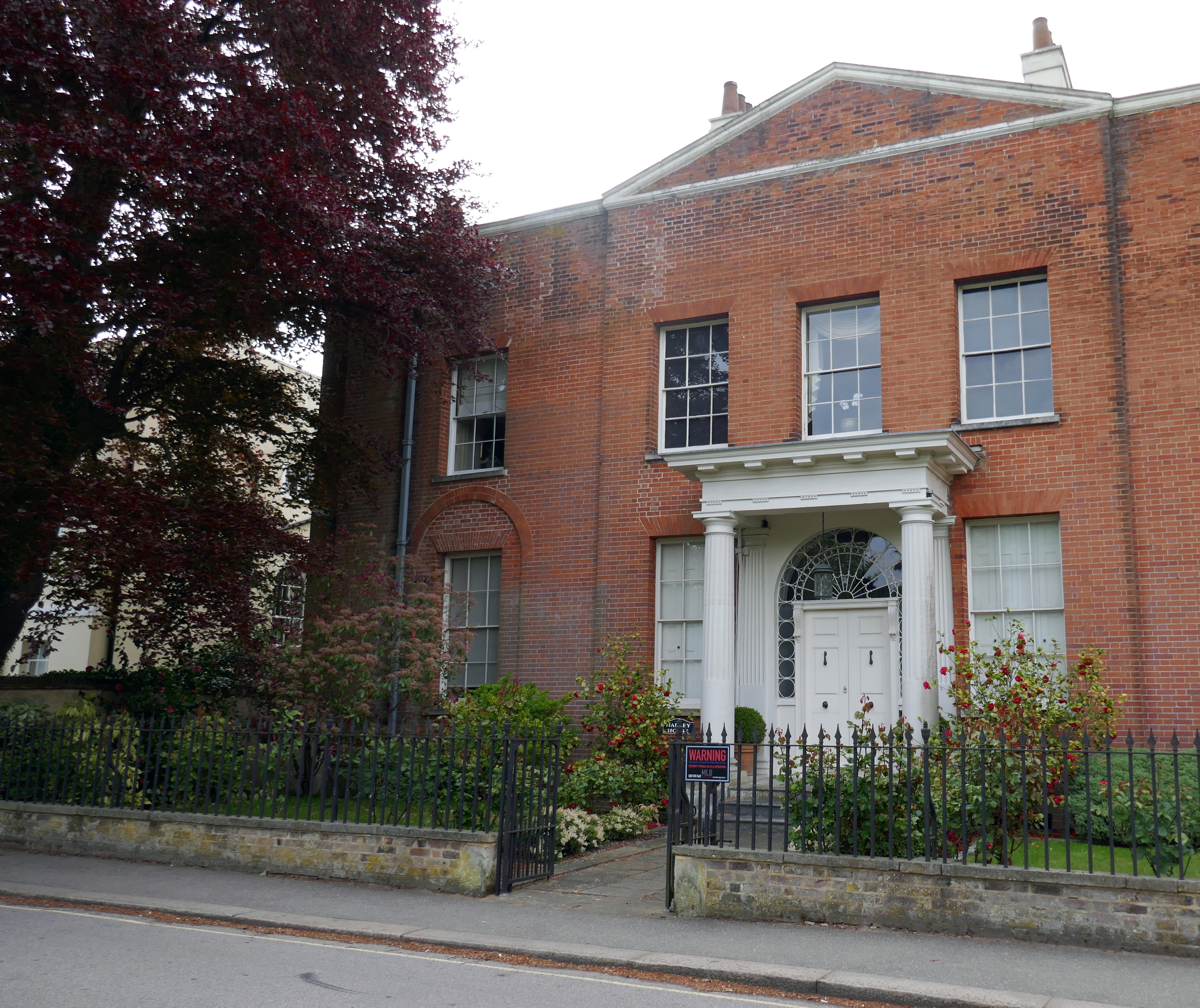
Georgian-style house on Hadley Green Road

A lugubrious basset hound on Hadley Green excepted, the first time I had to guard against bumping into bodies was at South Mimms motorway services, a rather unusual pedestrian refuelling point. My arrival at Old Hatfield was well-timed, giving me the time to tour the old village centre before catching the hourly train to Kings Cross.

Get out of town! — North to Hatfield (46.43km)