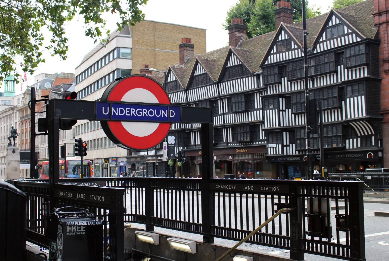
That’s the London Summits Walk. About 320km, starting and finishing at Chancery Lane Tube station, and linking up all the borough summits in the capital. That’s Horsenden Hill, Havering-atte-Bower, and Westerham Heights for three, and although they might seem more exciting than Mare Street, Marks Gate, and Willesden Junction (the station isn’t a summit, but there are two just down the Harrow Road), it’s the way that the route sews up the built environment and the green environment into an ever-changing kaleidoscope of London life that makes the London Summits Walk so different from other London routes. It visits every borough, and does not shirk suburbia.
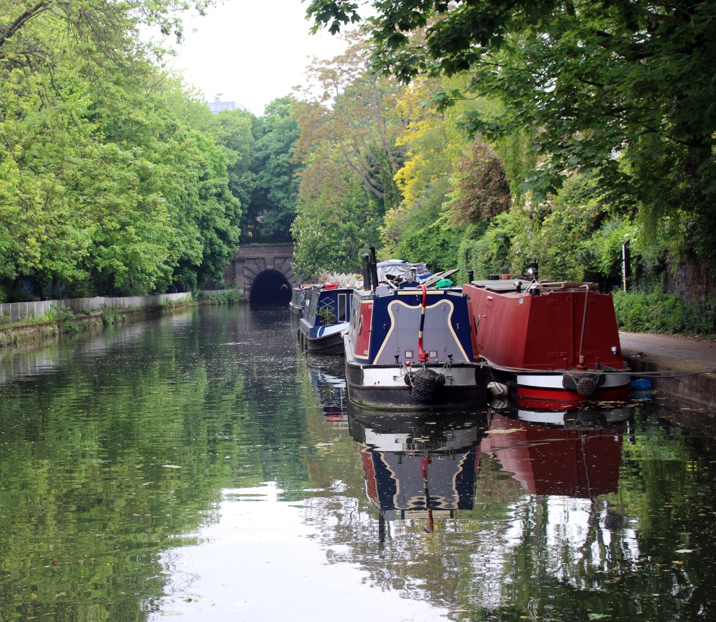
The Regent’s Canal : west portal of Islington tunnel
Pop over to the route’s homepage to discover the walk … and why its other name is the Capital C.
Looking round to summon up another walk round London, I remembered the Coal Tax posts. Oh, yes, any coal brought into London from beyond these posts was subject to a tax by the Corporation of London, to keep up the roads. Then to buy out the toll bridges. Then more Good Works in London. Originally, it was a twenty-mile radius from the General Post Office HQ in St Martin-le-Grand, near St Paul’s Cathedral, but by the 1860s, the circle had been bashed about to make it coincide with the Metropolitan Police District.
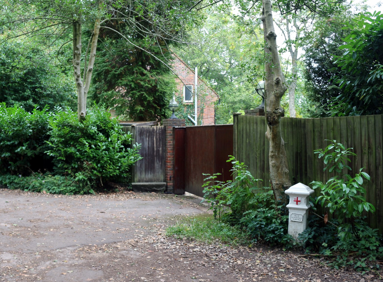
The Coal Tax post at the summit of the London Borough of Hillingdon
The first markers were put up on the bank of the Thames downstream (south bank: the north was just a mess of marshes), and at Staines (sorry, Staines-upon-Thames these days) upstream, because it was Port of London work, and the coal all came in by the river. Then there were canals, and later, railways: some markers were erected there, though the canal and railway companies each had a sort of pay-as-you-bring deal. But by the 1860s, it was decided that land routes needed the boundary markers, so the little cast-iron posts were made, and erected at strategic points of the boundary, on roads and tracks (plus a few frankly strange places, such as on the bank of the Colne near Rickmansworth). Over two hundred of them, many still part of the increasingly urban landscape. Nobody could claim ignorance of the Coal Tax boundary.
But wait a minute. How much coal was imported along roads and tracks? To all intents and purposes, zero. So why all the expense of the posts? I do not know. But these are all well beyond the Square Mile: part of London, but just not in the City. Was this advertising? Was it a statement of intent that the City was still a force to be reckoned with, even out in the country at Potters Bar or in the Caterham valley? Or was it another Force the be reckoned with — the Met? This was the boundary of their manor, but it might have looked a bit heavy-handed if the police were strutting their cast-iron stuff. But the dear old Coal Tax, so remote from the minds of those who would see the boundary posts, perhaps that was a way of softening the blow, while making sure that there was no excuse for not knowing the Met’s area of operation.