Further progress on Green Walks. This week, I have added three more boundary walks, around Oxford (including Abingdon Lock, pictured), Cambridge and Milton Keynes.
In mapping them and checking for public transport access data, I noticed that the Cambridge Ring was created with an anti-clockwise circuit in mind, but the other two were for clockwise consumption. I looked at the circular boundary walks to find that clockwise outnumbers anti-clockwise by about three to one.
The question goes beyond boundary walks, of course, to encompass (ahem!) all circular walks, from the Glasgow subway to the coastal routes with their link-back additions. A few walks have “obvious” directions (the Coal Tax Circuit follows the numeration in the catalogue of markers, so is described anti-clockwise, but why are the others’ orbital directions chosen to be as they are? I’ve had it suggested that it ties an author’s favourite stopover at an optimal distance (for whom? oh, the author!) from the arbitrary (if conventional) start. To me, clockwise is logical (barring special cases such as the Coal Tax Circuit).
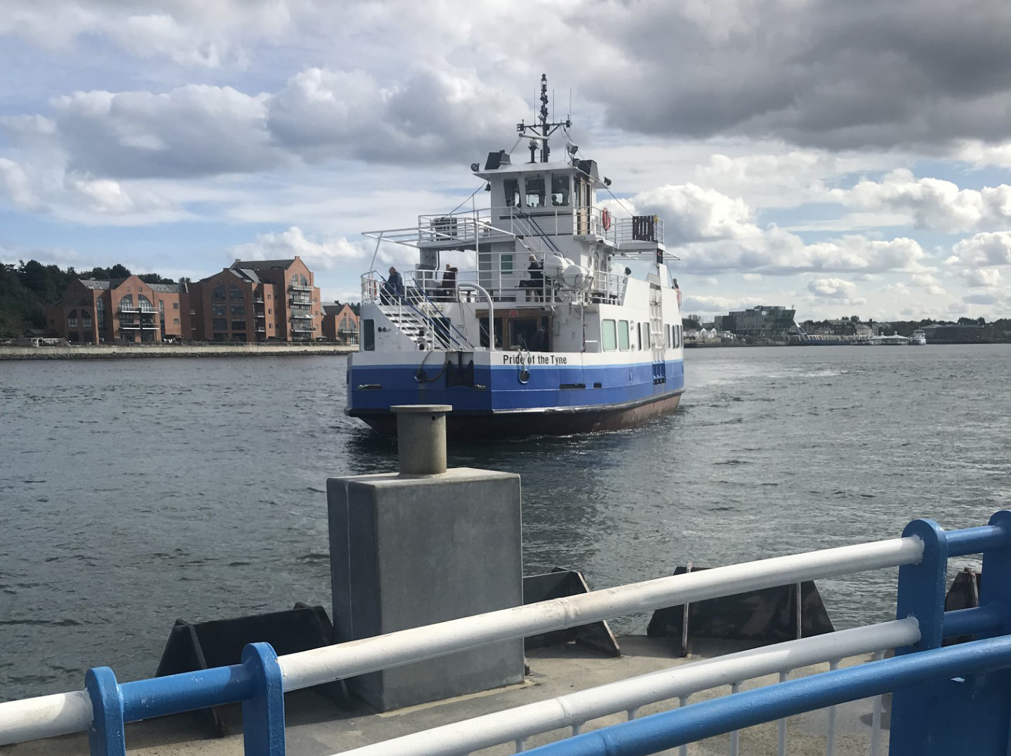
Last month, I reported on the absorption of the former greenwalks.uk site. Today, I have added three walks to the site: the Loch Leven Heritage Trail, the Tyne and Wear Heritage Way (endpoints pictured), and the Community Forest Path in the Bristol area. The path which encircles the Newcastle/Gateshead conurbation mentions public transport, but only at the points which the organisers have deemed to be sectional breakpoints (can’t have the walkers deciding their own stopping-off points!), and the Community Forest Path ignores public transport altogether.
This is frankly shocking for these two organisations, which are loud in their advocacy that the citizenry should get out of town and onto the paths, as they fail to give the citizenry the pointers of how to do it. But then, at least one such organisation has a history of focus on the route (often counting angels dancing on the heads of pins to prove their commitment to a route on the map) without playing devil’s advocate and looking at the walk from the point of view of the users. By contrast, the Loch Leven route gets off lightly, since there are only two bus stops of interest.
Big changes to the site this week, as I inhale all the content from the greenwalks.uk site. Since I have been the sole content creator, it made sense to bring it all in-house: there are crossover opportunities for content, and it is just easier.
The greenwalks.uk site was created two years ago as a small team tried to collate public transport access to named walks, but in the past year, development became patchy and, as noted above, there were no other content creators. There is still a wealth of information there, and as I tidy up the imported files, it will give me a chance to review the content and, I hope, improve it. Things move on (including web design as well as content, of course) so there ought to be change out of past experience, otherwise we would be stuck in a rut looking backwards all the time.
Head over, then, to https://lwalks.london/greenwalks/ and use the Green walks dropdown. It looks a bit monochrome at the moment, but I shall try to brighten it up over the coming weeks and months.
After I reached Reading, having walked parallel to the entire Elizabeth Line, I turned to the District Line. Unlike the Elizabeth Line, the District is all contained within London, from Upminster in Havering to Richmond in … well … Richmond-upon-Thames. No excursions into Essex, Berkshire, Surrey, or other adjoining countries. After I completed the District Line, I realised that the purple and green combination was completed, appropriately, at Wimbledon.
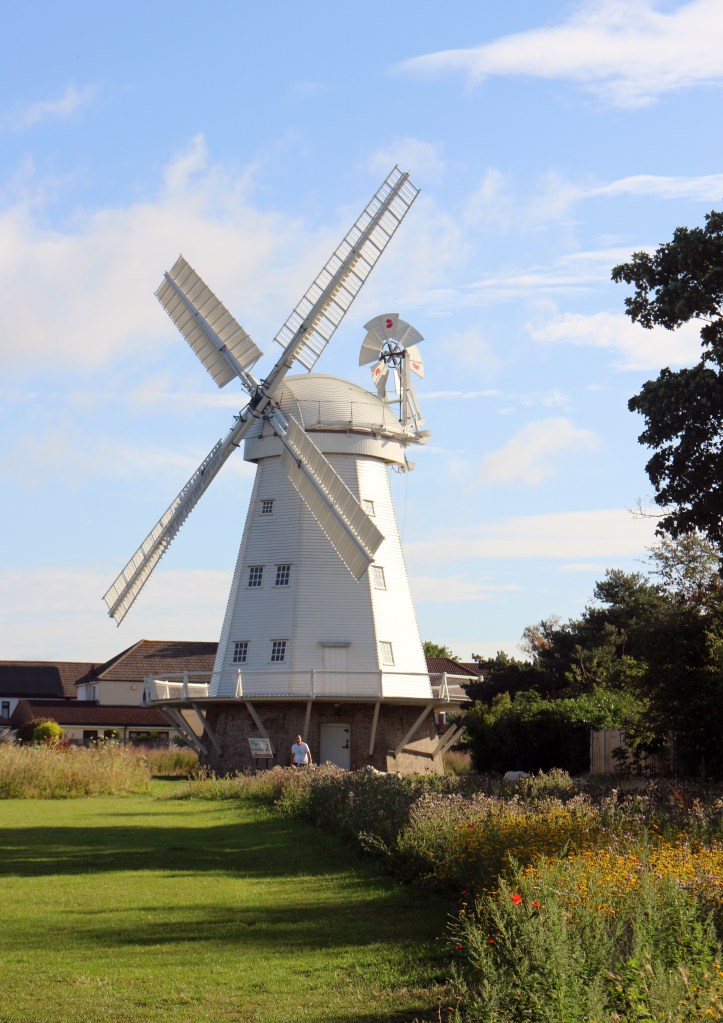
Upminster Windmaill
I walked the route from east to west, so that the sun was generally behind me on my morning outings (as early as I could by public transport from the western edge of London, where the buses don’t kick in until half the morning has gone — just after 0600). Leaving behind the architecturally null main entrance to Upminster station, I soon reached Upminster Windmill (pictured). As a friend remarked on seeing the sails, “Musk certainly gets around”.
Streets and parks alternated, with a rural loop of the river (one of the Lea channels) near Three Mills. After Bromley-by-Bow, I ticked off the stations to Temple on the pavement, but there were surprises revealed throughout, from an Italianate ex-hospital to a bar which used to be a fine pharmacy.
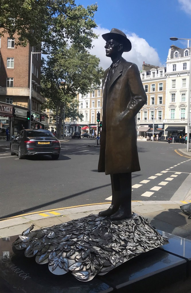
Béla Bartók on the corner of Pelham Street
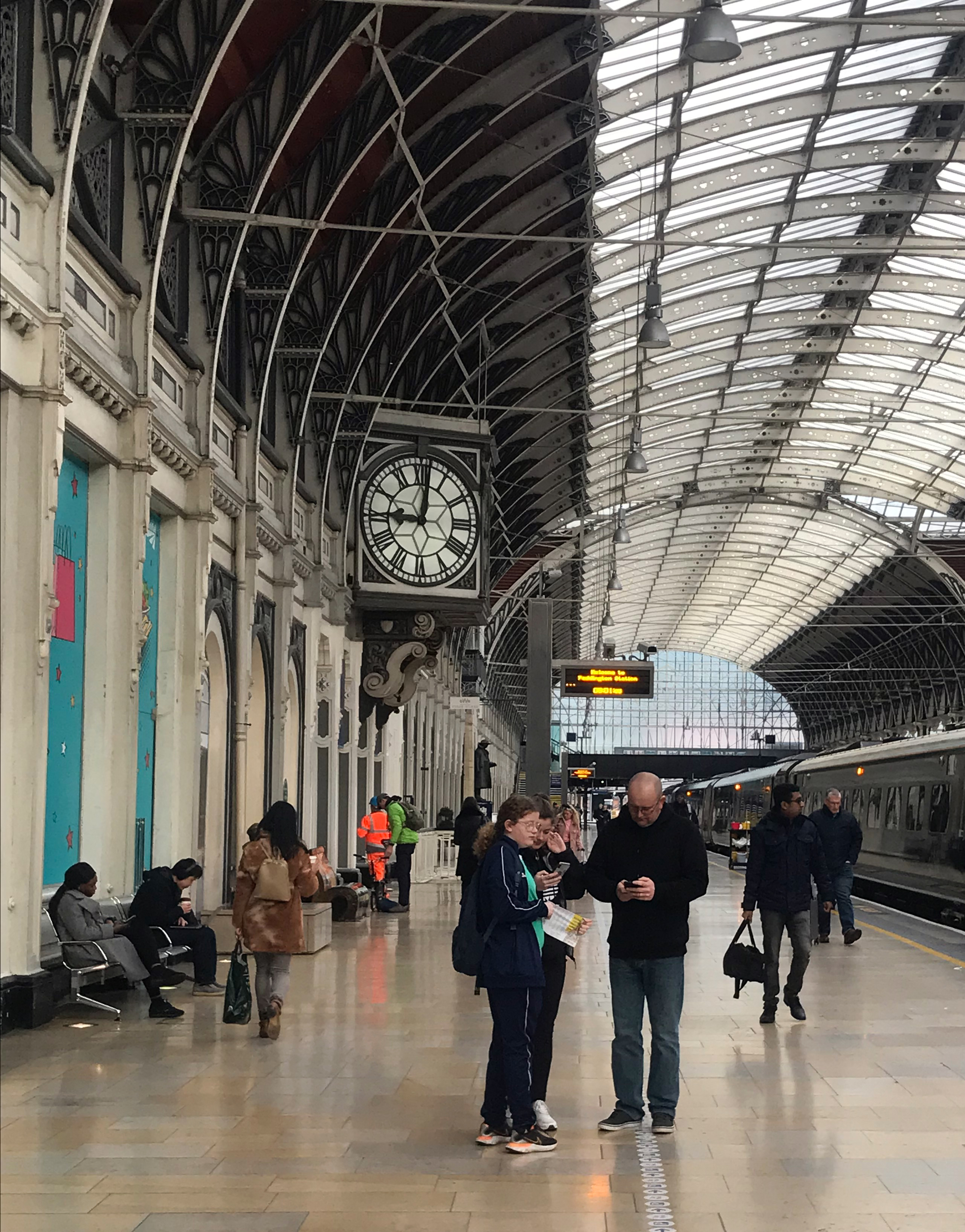
I had started one day’s walking at Mile End at 0730: I should have arranged the days to give me a start at Westminster. By the time I nodded to Boudicca at Westminster Bridge shortly after nine, the streets were clogged with stationary (or as near as makes no difference) tourists, and it was like that until I had waded past Victoria Coach station. Apart from that section, my gait was rarely disturbed by others.
At South Kensington (on the south side of the station), Imre Varga’s statue of Béla Bartók brightens the streetscape: the composer gazes towards the flats which he occupied when he was living in London.
And so to Earl’s Court, the nexus of the line, where most of the branches converge (the other junction is at Turnham Green). My day finished by wrapping up the Olympia branch and (since it was a weekday) walking towards Hammersmith to catch a bus for the first stage of my trip home.
Transylvanian gateway at the Hungarian Reformed Church, Barons Court
Hungary came calling again at Barons Court, where an artist’s studio has been converted into a Hungarian Reformed church: the gateway with its intricate carving is typical of Hungarian houses, particularly in Transylvania (the area of north-west Romania which has a large ethnically Hungarian population).
Mirroring the eastern end of the line, the route between Hammersmith and Richmond alternates streets and parks: having walked from Earl’s Court to Richmond, I immediately caught a train back to Turnham Green and polished off the Ealing Broadway branch to be home for lunch.
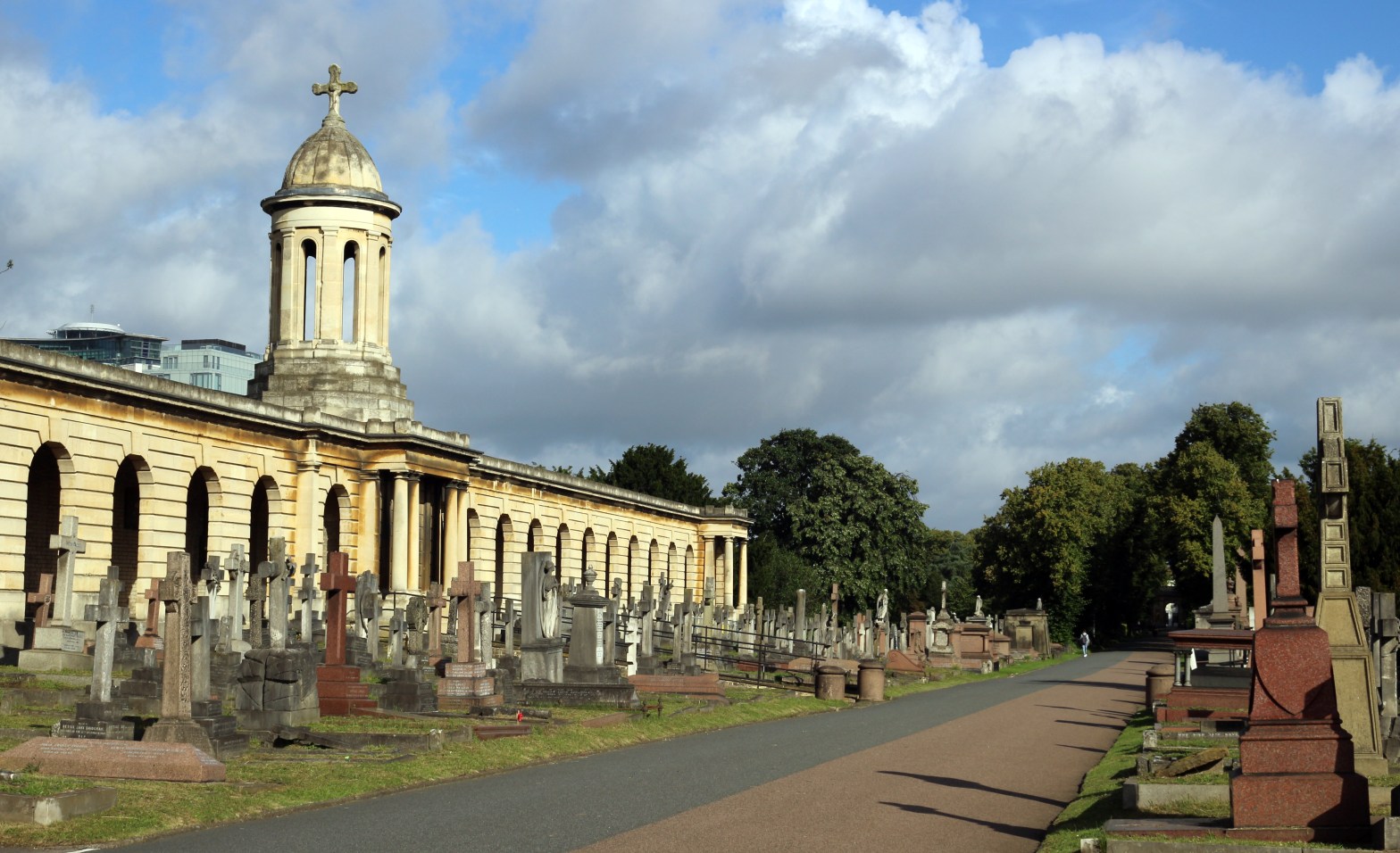
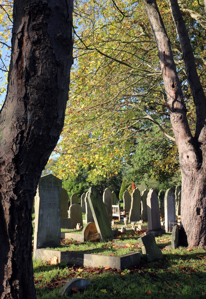
The last piece of the route began at Edgware Road and (hello again, Earl’s Court!) ended at Wimbledon, and contained much interest. After greeting the window-cleaner at Edgware Road and passing Paddington and the varied architectures of the Hallfield Estate, Bayswater, Kensington and Earl’s Court, the route passed into the calm of Brompton Cemetery. Well, almost calm — I do not consider a cemetery to be an appropriate place to run laps (or at least, to try to look as if one is running laps), and the same applies to cycling.
Brompton Cemetery
Brompton Cemetery is one of London’s Magnificent Seven (along with Kensal Green, Highgate and others) and has been Crown property since 1852: it is managed as one of the Royal Parks. It is laid out as an open-air cathedral, with the chapel situated where the altar would have been. If you stopped to explore, you would never reach Wimbledon.
There are short stretches of greenery (and bluery as the route crosses the River Thames on a footbridge next to the District Line) as far as East Putney, then it is generally quiet streets to Wimbledon, with the expanse of Wimbledon Park bringing a change in the surroundings.
No craggy mountain views, but all in all, a fine walk, especially before nine o’clock in the morning. My morning walks were as follows — only after arriving at Wimbledon did not see me home for lunch: a pint and a BLT in Earl’s Court and I was able to avoid the Wembley crowds by taking the Piccadilly Line.
My days out on the District Line were
Upminster to Becontree
Becontree to Mile End
Mile End to Kensington Olympia via Earl’s Court
Earl’s Court to Richmond, then Turnham Green to Ealing Broadway
I have now stitched up my station-to-station walk from both Abbey Wood and Shenfield to Whitechapel, and westwards to Reading, the westmost sections in the heat of the summer (so that would be “dun and dusty”).
Like all walks through an urban centre, the Elizabeth Line walk is not all meadows and wilderness, but the streetscapes are as varied as the landscapes, from proof-of-concept suburban housing to areas of regeneration, flyblown shopping thoroughfares (not just Oxford Street) to the asepsis of new-build areas which have yet to acquire a character. The walk through London, of course, throws up great contrasts in architecture.
The landscapes vary from totally rural patches (around Brentwood and west of Maidenhead) to the tiny parks dotted along the line and the big urban natural spaces of Lesnes Woods and Wormwood Scrubs.
Harold Wood station
Manor Park cemetery
Canal notice, Hackney
Lesnes Wood, looking down towards Lesnes Abbey Park
Fading light on a winter’s afternoon, looking upstream from Limehouse.
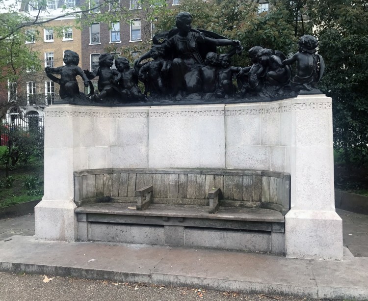
Memorial to Margaret MacDonald in Lincoln’s Inn Fields.
Bridges over the canal and the railway at West Drayton
The old Bath Road near Waltham St Lawrence
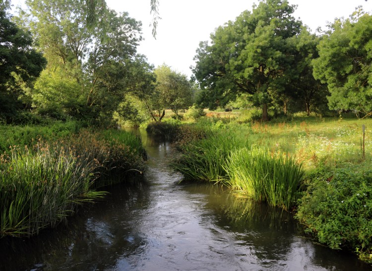
River Loddon at Whistley Bridge, south of Twyford
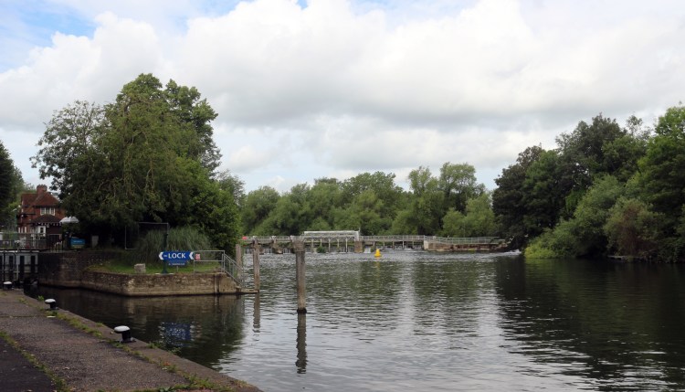
Caversham Lock and Weir
It would be interesting to walk the route again, swapping around the seasons. West to east is of course a possibility (if you don’t mind walking into the sunshine all the time).