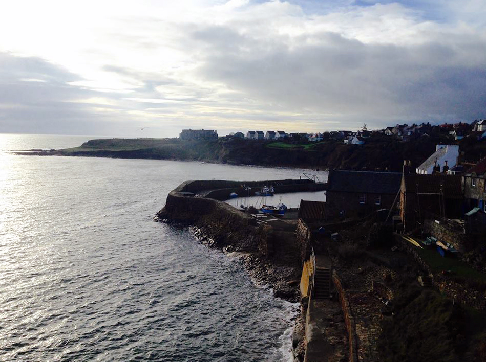
The Fife coast

Just as I was beginning to think about a new project, I noticed a new edition of a book on the Fife Coastal Path, written by the legendary Hamish Brown. I was immediately transported in mind to the path I have known for sixty years, in days of sparkling sunshine, gunmetal-grey clouds, and the see-nothing haar.

The Fife Coastal Path has good transport connections along its length — the only area where there is a dearth of public transport is in the north, between Wormit and Newburgh, but if that is too far for your day, two days based in Cupar, with buses to Wormit and from Newburgh, may be attained with a taxi link from and to Brunton. The original route stopped at the Tay Bridge, thus avoiding the taxi question.

I shall readily admit that I have not walked every metre of the path, but I look forward to remedying that soon. In 1986, a friend and I tackled that northern section as part of a proposed Tay-Tyne Trek from St Andrews to Hexham: heavy snow (it was in March) meant that the walk had to be curtailed at Hawick — so we just renamed it the Tay-Teviot Trek (thus keeping the alliteration).

And if the cliffs and sands, the seabirds and St Andrews, the harbours and the occasional hill are not enough to tempt you onto the path, there are world-ranking chip shops and ice-cream parlours to tempt you. Welcome to the coast of Fife, that “beggar’s mantle, fringed with gold” (James VI and I).

Back on track

After time out to let a hamstring know its proper place (that is, being unobtrusive) in the grand scheme of things, I returned to my circumcardinal route for the next easy section: Hatfield to St Albans along the Alban Way. The route follows the old railway line from Hatfield (just north of the station) to St Albans, at the Abbey station, which today only serves trains to Watford. I broke off just before the end to descend to the River Ver and follow the Ver-Colne Valley Walk into St Albans (next section follows that route, and the Hertfordshire Way, to Redbourn).

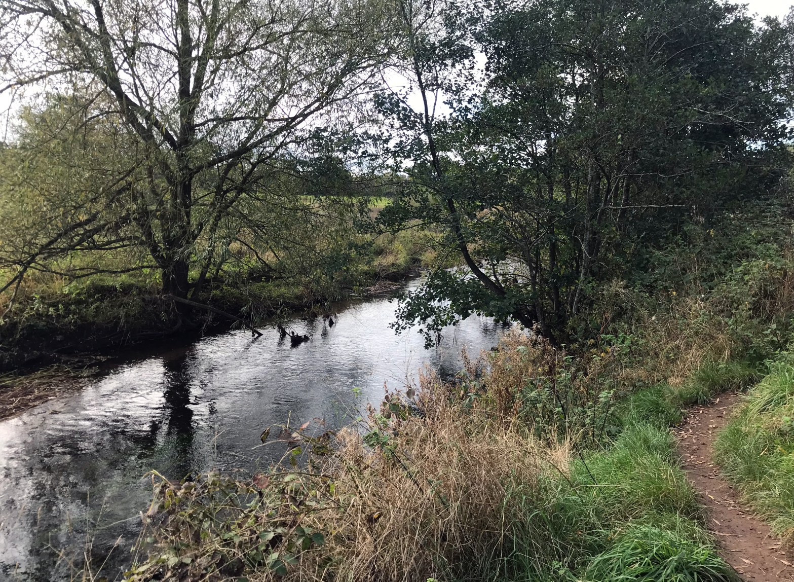
Alban Way, Smallford
The Alban Way near Smallford, about half-way between Hatefield and St Albans.

The Alban Way is straightforward, and is without stiles, and the one flight of steps, within Hatfield, has a ramp alternative. In no way demanding, but almost exclusively a green corridor with a bus route easily accessible just to the north.

Rosherville diversion

My radial route to Gravesend needs a temporary (I hope) diversion: a large area of Rosherville has been cordoned off, and there is no access between Crete Hall Road and the roundabout at Thames Way and West Street. The alternative route (which requires a 30m climb to London Road and a similar descent to Thames Way) is given in the text of Section 8: Southfleet to Gravesend.

This means that there is no longer a route on the bank of the Thames, and no view of the Tilbury Container Terminal across the river, nor of the sad remnants of Art Deco buildings.

The housing will wipe out the site of the Rosherville Pleasure Gardens (1837-1901) as well as the Crete Hall estate.

Increase in Fife expectancy

A twitch upon the thread this week — I discovered Hamish Brown’s Exploring the Fife Coastal Path in its new 2021 edition. Parts of that route have been in my DNA for sixty years, and I have been reading the author for forty years. Immediately, I was drawn back to the East Neuk, and to the northern hills where the Ochils peter out to the Tay. It is all given in Hamish’s polymathic chatty style, with minimal maps, encouraging you to use the OS mapping.

The route also chimes in with the idea of walks achieved with the help of public transport. Armchair walking for now, but how I’d like to get back on the route!

Off the Wall

A train departs from Wetheral station towards Carlisle

A week ago, I spent a fine weekend with Mark Richards, exploring the idea of promoting (and at times devising) walking routes with a public-transport focus. Our walking connected Carlisle, Wetheral and Brampton stations on the Tyne Valley Line, as well as the spur into the centre of Brampton.

The Tyne Valley Line is one of the more walker-friendly lines to walk: though the sections to and from Brampton might be a little challenging for some (there is a limited bus option to break these sections, and taxi options are always available), the entire line between Carlisle and Newcastle may be walked using only the trains. The route gives a local alternative to the Hadrian’s Wall Path, the use of which is discouraged in the GMT months to avoid damage to the monument and its environs.

Of course, public transport accessibility has always been a focus on my walks, from the Ring around the Underground to the Nord-Ostsee Wanderweg: we just need to keep pushing the concept, and bringing operators on board. Seventy years ago, British Railways offered Ramblers’ Returns for what the airline industry now terms “open-jaw” business. The BR formula was simple: add the return fares to each end and divide by two. Time, perhaps, to revive the idea, and to offer innovations such as a carnet system (this would work on the Tyne Valley Line) or an Offa’s Dyke return, valid for one journey to any of the stations serving the path, and one returning from any of those stations. This latter idea, which could be used for other routes (the North Downs Way and the John Muir Way come immediately to mind), gives the security of being able to break off at pre-arranged points or in an emergency without losing “the return half”.