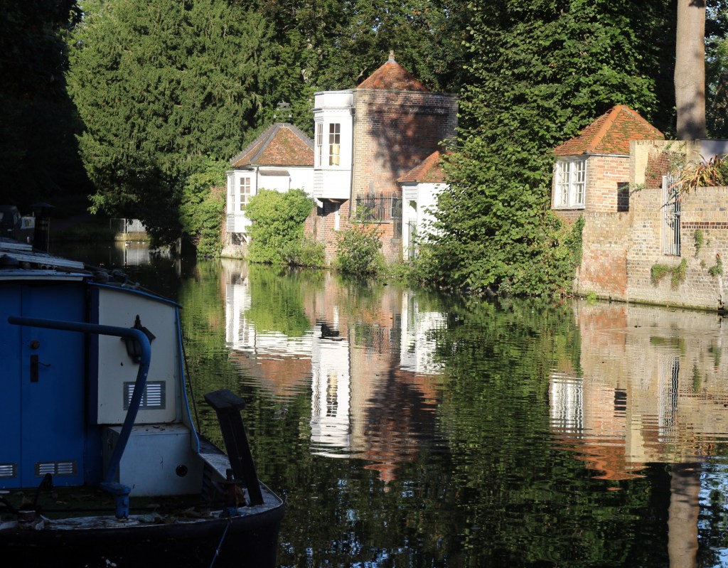
In 2019, I created and walked a set of nine routes, collectively called Get out of London!. These emanate from Trafalgar Square in the eight compass directions (east being represented on each bank of the Thames, therefore nine routes).
It is now time to start linking them up, using existing named (and, one hopes, waymarked) routes. The Grand Plan of eight sectors has been drawn up, and three sectors are now complete, with a fourth in progress. More often than not, days out developing this route will need to be taken in the summer, since there are longer train and/or bus journeys to the staging posts. At the foot of this page, I have listed the days into which the walk has been split to date.
You are advised to read the introduction to the walk first, since it discusses content, conventions and useful information.
Here’s the story so far.
Sectors
The walk is divided into sectors between compass-adjacent termini of the radial walks.
- ENE — Southend-on-Sea to Epping (81.8km; 780m ascent)
- NNE — Epping to Hatfield (44.9km; 296m ascent)
- NNW — Hatfield to Hemel Hempstead (37.6km; 339m ascent)
- WNW — Hemel Hempstead to Maidenhead Bridge (49.17km; 714m ascent)
Walk days
These are my days on the route while doing my research.
- Day 1 — Southend-on-Sea to Hockley Woods (19.48km; 299m ascent)
- Day 2 — Hockley to East Hanningfield — repeated an extra day following serious bramble/briar attacks and minor diversions due to poor Saffron Way signage and maintenance (20.33km; 205m ascent)
- Day 3 — East Hanningfield to Margaretting (14.70km; 119m ascent)
- Day 4 — Margaretting to Chipping Ongar (15.38km; 127m ascent)
- Day 5 — Chipping Ongar to Epping (12.00km; 152m ascent)
- Day 6 — Epping to Cheshunt (13.55km; 161m ascent)
- Day 7 — Cheshunt to Ware (14.24km; 33m ascent)
- Day 8 — Ware to Hatfield (16.69km; 122m ascent)
- Day 9 — Hatfield to St Albans (10.46km; 63m ascent)
- Day 10 — St Albans to Flamstead (13.43km; 142m ascent)
- Day 11 — Flamstead to Hemel Hempstead (13.18km; 166m ascent)
- Day 12 — Hemel Hempstead to Chalfont St Giles (20.55km; 301m ascent)
- Day 13 — Chalfont St Giles to Penn— plus detours (11.01km; 206m ascent)
- Day 14 — Penn to Holtspur (6.12km; 102m ascent)
Disclaimer and advisory notices
Note that lwalks.london can accept no responsibility for content on an external site or in an external publication, nor for any action by an external site which renders our content or link outdated or unworkable. Furthermore, lwalks.london retains the liberty to unlink external content at any time if the content loses relevance to the linking page(s).
Images used on the lwalks.london site are either owned by lwalks.london, or are subject to a licence-to-use held by lwalks.london. These images must not be further used by any third party without the explicit permission of lwalks.london, or of the original image licensor. A small number of images are in the public domain.
Routes are to be followed entirely at the walker’s own risk: lwalks.london can take no responsibility for any inconvenience, damage, loss or injury caused by attempting to follow a route, which is no more than a mere suggestion of a possible enterprise.
We should be happy to learn of any changes to the line of a walk and/or its attendant facilities, or to consider an image which you own for inclusion on the site, lwalks.london thus being granted a free and non-exclusive licence to use the image anywhere on its site. Please contact us.
