Havering-atte-Bower and Chigwell

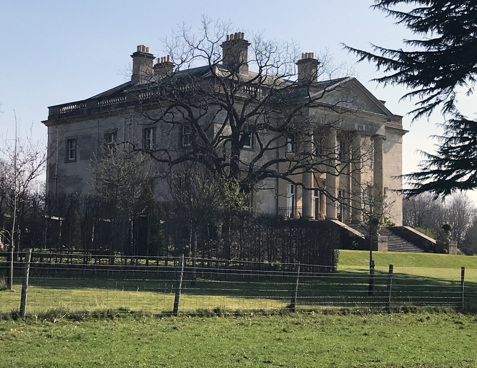
A good 20km walk this morning on the anticlockwise London Loop (the Pool?), starting at the 294 bus terminus at Noak Hill (north of Harold Wood station). There was clear evidence of active deterrence (waymarking uprooted, blocked stiles, etc.) in various places. I arrived at Havering-atte-Bower and noted that the Royal Oak was all boarded up. There’s another pub in the village, just off-route to the south.

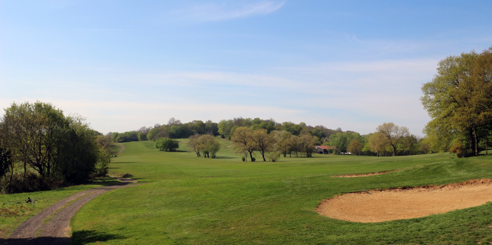
I continued down the avenue of Wellingtonias in Havering Park, then met a group of horse-people (not centaurs, you know what I mean) who were as surly as those in Havering had been joyful and welcoming. Then I hit the golf course and, after crossing a fairway, made my way up through a wisp of trees separating the two courses. It had been a thirsty start, but I was reserving my bottle of water for later. Suddenly, there it was — a snackbar on the golf course with a Ramblers Welcome sign.

TQ 48293 93484 — just where the Loop crosses the Redbridge/Havering borough boundary (the location’s obvious if you look at the OS map). Simple snacks, hot and cold drinks (including an impressive array of beers, though at 10am … orange juice was the order of the day).

On through Chigwell Row and Chigwell, famed for its residential excess, and over to the Central Line, breaking off for Roding Valley station (where, alas, the pub had no Covid-free cooks). Never mind, it’ll be pizza tonight.

Postscript: I needed to update the details of the pub and snackbar in my notes for the routes with which these places come into contact. This avalanched into a complete review of all my route-notes, compiling as I went a spreadsheet of locations with transport connections and/or refreshment and replenishment opportunities. The personal routes in London are now all updated with known changes made and another editing run of the text. There will still be typos, and the notes will need to change again, but for now, I have a reasonably up-to-date set of notes, and a means of maintaining consistency across routes.

Spring in the Chilterns

Dry weather for a week, so the ground was easy. Even the earth on the ploughed (and being-ploughed, in one case) fields was dry and crumbly. A really late start (thanks to the bus timetables), easing out of Flamstead at 0945. Mostly gentle ups and downs, on a path which was clear and well waymarked (except for some vandalised signs in Hemel Hempstead near the end), with first-rate gate provision throughout. About 14km on the route, which was enough for a morning. Grand houses (Gaddesden Place being the grandest), old houses, days-old lambs and venerable sheep, the sunshine and very few other walkers. Three buses to get home, with less than ten minutes’ wait for each.

It was good to be back on the circumcardinal route again: Maidenhead is the next key point, which will be about three days’ walking away.

New year, new coast path

The latest chunk of the England Coast Path (Woolwich to Grain) came into being on 12 January. Just over eight hours later, I stepped off a train in Gravesend. I visited Pocahontas before setting off. Of course, it’s not a new path, just a new designation — the route to Cliffe Fort (along with the walk-out to the 133 bus at the Six Bells) has been part of the Saxon Shore Way for years.

At 0852, I met the first path closure/diversion, which involved a detour via streets with ill-parked vehicles on the edge of an industrial estate. It was interesting to note that Kent County Council were announcing the diversion of the English Coast Path: this would be my preferred format. I believe the flood of nounal phrases (Police Scotland, England Coast Path and so on) stems from a misunderstanding of translations from Welsh, where there is no genitive inflection and where the noun precedes the adjective. Welsh Water translates as Dŵr Cymru (not Dwr Cymru, which is “Welsh pile of manure”, I am informed), and back-translation of similar organisations became “* Wales”, rather than “Welsh *”. Scotland was next (even though Gaelic does have a distinct genitive form), and the form spread to England in time for the coast path’s designation. I prefer to use the proper adjectival form.

But the walker had to contend with more than grammar — mud (plenty of it) and random rocks made for slow going on the sea-wall stretch. But big skies in colours developing from sunrise to full day, and abundant birdlife, from oystercatchers to a lone curlew, brightened the slog along the way.

Mud along the Thames.
Coalhouse Point and Cliff Fort frame the bend in the estuary

I had not seen anyone between a dog-walker at Denton Wharf (at the end of the diversion) and my approach to the gravel works but, at the path junction, there was a sudden outbreak of tripod-bearers. I was pointed out a black-throated diver, and all the quintuped birdwatchers were looking for a glossy ibis (which also got a name-check in the Guardian’s article about the new path).

I decided to cut through the gravel works to reach Cliffe in time for my bus to Strood, so the fort will need to wait for another day. I timed the bus right, with a 40-second wait. Alas, but I had a 40-minute wait on Strood station platform. I decided that my blue trousers with (by now) brown polka-dots weren’t quite the thing for lunch in London, so I arrived home, tired, hungry and thirsty, in mid-afternoon.

I think that I shall allow the sea-wall to dry out a bit before I tackle the twenty lonely kilometres between Cliffe Fort and the ghost holiday camp at Allhallows-on-Sea. Other walks are available.

It turns out that I was wise to hit Day 1 rather than wait for Day 2: a freight train derailment between Rochester and Strood occurred just after midnight on Day 2, which would have delayed/changed my return home.

Walk to the localist local

A cold, but not too cold morning in Warwickshire, based at the New Inn community pub in Norton Lindsey — the walk is one of those described in leaflets produced by the pub. I accepted the offer of a pick-up at Warwick Parkway, thus avoiding a 6km walk-in on inter-village roads, some of whose drivers appear to be not exactly noted for their restraint. There was a 3km walk-in option from Claverdon station, but that required an extra train. I spent a warm and happy wait at the Parkway, enjoying coffee and pastries from the excellent (if a tad expensive) mornings-only café in the (modern and well-insulated) station — all other station buffet options along the line being resolutely closed.

Princes Risborough — changing trains on the outward journey (left)
Warwick Parkway — beginning the homeward journey (right)

The sky was pale grey with a sixpenny sun showing behind the haze, so it was a game of guess-the-horizon-feature. Not quite enough definition for decent phone-photos. Good paths with only one wet ploughed field and a couple of woodland damp-paths, and extensive views: several very interesting buildings en route. Not quite enough long wet grass as we entered Norton Lindsey at the end of the outing, so muddy boots had to be taken off, bagged, and put away in the rucksack before going into the pub. When I had removed one boot, it began to rain.

The New Inn is Warwickshire’s first community pub: a great range of beers (some from very local breweries) and a Christmas set menu with really good anything-but-turkey options: we had walked past the source of the lamb chops (veg from the pub allotment).

By the time I was returned to the railway, the rain had set in for the day — not torrential, but persistent. Three trains and a bus to get home, with all dark and damp outside the transport. It was good to have been out.

The Fife coast

Just as I was beginning to think about a new project, I noticed a new edition of a book on the Fife Coastal Path, written by the legendary Hamish Brown. I was immediately transported in mind to the path I have known for sixty years, in days of sparkling sunshine, gunmetal-grey clouds, and the see-nothing haar.

The Fife Coastal Path has good transport connections along its length — the only area where there is a dearth of public transport is in the north, between Wormit and Newburgh, but if that is too far for your day, two days based in Cupar, with buses to Wormit and from Newburgh, may be attained with a taxi link from and to Brunton. The original route stopped at the Tay Bridge, thus avoiding the taxi question.

I shall readily admit that I have not walked every metre of the path, but I look forward to remedying that soon. In 1986, a friend and I tackled that northern section as part of a proposed Tay-Tyne Trek from St Andrews to Hexham: heavy snow (it was in March) meant that the walk had to be curtailed at Hawick — so we just renamed it the Tay-Teviot Trek (thus keeping the alliteration).

And if the cliffs and sands, the seabirds and St Andrews, the harbours and the occasional hill are not enough to tempt you onto the path, there are world-ranking chip shops and ice-cream parlours to tempt you. Welcome to the coast of Fife, that “beggar’s mantle, fringed with gold” (James VI and I).