It has been far too hot to get out onto my routes, so I have spent a few days improving the site. I have upgraded the pages on the Ring around the Underground, the Coal Tax Circuit, the London Summits Walk, and the nine radial walks which fill the stable of Get out of London! These improvements have produced separate links for the directions and map for each stage of the walks, and have incorporated a brief description of each stage. Route directions have been updated to reflect changes in detail.
The maps link to the OS Maps Online site. The subscription to this site is a no-brainer for any walker in Scotland, England, Wales and the Isle of Man, since it gives full overlay of routes on the always-updated 1:50000 and 1:25000 scales. In turn, this means that one may walk with A4 sheets tailored to the day’s walk — I fold the sheet down to A7 size (a little bigger than a credit card) and it makes navigation much simpler than carrying and constantly unfolding a full-sized map (which may not have the latest changes).
In addition, I have split the Ring around the Underground into four sections in order to keep the pages to a reasonable size. The radial routes were already of manageable size; the other routes were already subdivided.
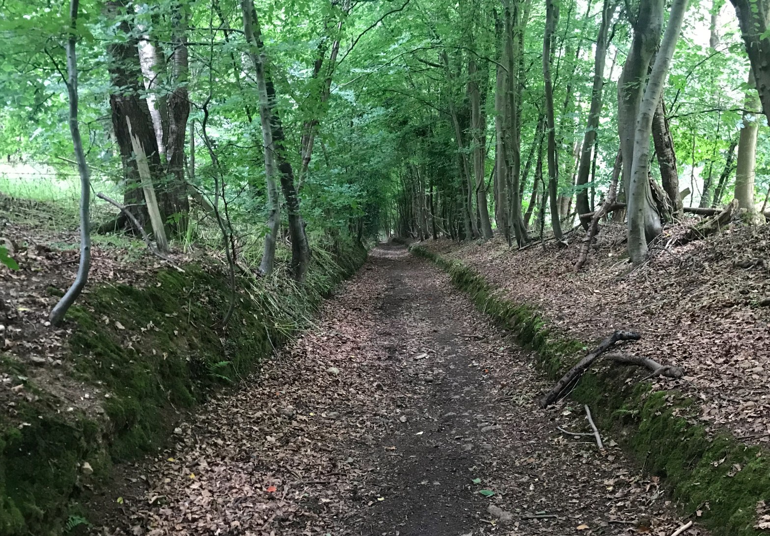
After a lull, I was able to push into the fourth octant of the circumcardinal walk. The exhilarating climb out of the valley from Hemel Hempstead saw the kph slump below the hoped-for, but then there was a good succession of field-and-forest walking to Sarratt. The drop and climb in and out of the Chess valley (note — the north side of the valley is by far the steeper) completed, the walk from Chenies to Chalfont St Giles via the tip of Chorleywood (that’s the edge thereof, no aspersion on the ambience intended) was more of what had gone before. The Shire Ditch south of Chorleywood (pictured) was a good starter for the final push over Newland Park to Chalfont St Giles.
The Chiltern Hills are quintessentially “good walking”, and when I was passing through, I encountered four instances of the Duke of Edinburgh’s Award scheme: two sextets of enthusiastic girls, a group of four surly lads, and two leaders.
At the back end of 2021, a book called Walks for each Season (Julia Smith — 9781739986704) was published: I fell upon it in the spring. Twenty-six walks starting and finishing at a station easily accessible from London, matching the routes with seasonal interest.
Thus far, I declare the book to be a winner. Clear descriptions, background interest well written, Ordnance maps (no spidery hand-drawn rubbish here!) and concise but sufficient transport information — the only minor caveat is that the two-page-spread maps disappear into the spine, where they are difficult to read. Also, some will be disappointed that the book is bigger than the bum-pocket-friendly Wainwright or Cicerone guides (I transferred the routes manually to my OS online subscription and carry the route on A4 folded to A7).
I had never been to Eridge (Walk 1) and its delightful wood anemones, nor had I been in the Chess Valley at celandine time (Walk 2 — pictured above). The Ivinghoe/Ashridge circuit (Walk 3) retraced steps I last made 35 years ago, while the apple blossom near Canterbury (Walk 4) leavened a rather hot morning’s walk (hello again, North Downs Way).
As Flann O’Brien almost said, “Don’t just buy this book — buy it today”.
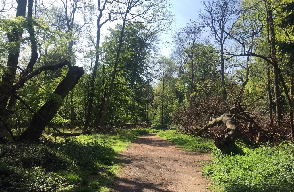
The transitional path between Ivinghoe Downs and Ashridge
From Enfield to Harrow Weald Common (on the London Loop route) in two consecutive mornings, about 40km when measured from and to home.
Day 1 started with a minor annoyance: I arrived at Turkey Street with a hundred-strong mass of schoolchildren milling through the station, and the TfL employee had opened the gates and set them on red, so I was charged the maximum for not having touched out (of course I did touch out, but it did not register on red).
I was soon on the Loop route, which I remembered (in reverse) so well that I did not need my map until I reached the headwaters of the Turkey Brook at Enfield Chase. When I crossed the road to reach the refuge route, though, things were very different. I remember fieldside paths into and out of the valley of the Salmon Brook (is this why the Loop is decidedly clockwise? — one would normally have the fish course before the meat), with a vague grassy path along the valley. But now, from Enfield Chase to Trent Park, there’s a dayglo-bright crushed stone path three metres wide, comparable to the Central Line being replaced by HS2. Admittedly easier on the thighs, but not on the eyes (not yet, anyway)
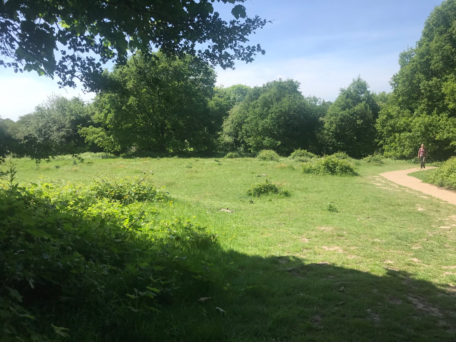
The formerly faint trace of a path by the Salmon Brook
Descending through Trent Park was not difficult, though at the bottom, there are two places where anticlockwise waymarking would have helped. With the temperature pushing north of twenty, I was ready for the (expensive) drink and pastry in the park café. The path from Cockfosters to Hadley was the usual wooded delight, then the swooping and rising to High Barnet station. A quick lunchtime stop at Kings Cross, and then off to the other end of the Tube.
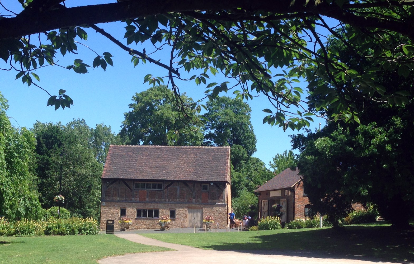
Next morning, back to Barnet to search for the source of the Dollis Brook, go over Moat Mount, drop and climb to Scratch Wood, and drop into Borehamwood, which I reckon is Middle English for “No sign of a café”. After a corner-shop refuelling drink, I hit the heat again, stumbling round a maximum-security reservoir (the state of the path is as much a deterrent as the mesh fence) and up to Stanmore Common (with some backtracking due to ambiguous signage), and through the Bentley Priory estate (pictured at the top of the post) to Sandringham (well, that’s what the bus stop is called) on Harrow Weald Common. Normally, I’d have pushed on the short distance to Old Redding, but the Case is Altered pub has now closed. It was none too good or welcoming when I dropped in last year during a local walk, and the closure of a nearby council car park was the management’s excuse to give up (rather than create a car park of their own).
Next for this route, down the west side to Heathrow.
Another morning out on the anticlockwise Loop from Buckhurst Hill: I fled to the train at Turkey Brook because I had not realised that it is already sunscreen season, and it had been a cloudless, windless morning.
Apart from some thuggish deterrence (landowners’ arrogant disdain for the public right of way, waymarks smashed and removed, etc.) and a new cemetery (from field path to garish new road) around Sewardstone, this was a good walk, with a fine vista across reservoirs in the Lee Valley. I saw several instances of waymarking being arranged for clockwise walkers, with a mark on the other side of the post for anticlockwise walkers, and the complementary lack of waymarking where the route is obvious clockwise. The Capital Ring is obviously not the only TfL route with such lapses.
The re-wiggling of Turkey Brook, Enfield Wash
The low-lying land of Enfield Wash has been transformed since I last visited: the canalised Turkey Brook has been liberated to wiggle its way towards the River Lea. The Loop route still follows the straight line, except for two zigzags to cross the new line of the stream.