A contrary Capital Ring

To get my body working again after over a year without walking, I decided that the Capital Ring would fit the bill, since it has hundreds of possible break-points (they are called bus stops and stations). In twelve mornings over five weeks, I completed the round. It really is a capital walk, with less street-slogging than I seemed to recall from last time.

Looking back towards Wimbledon Common (except where buildings intrude) from Streatham Common

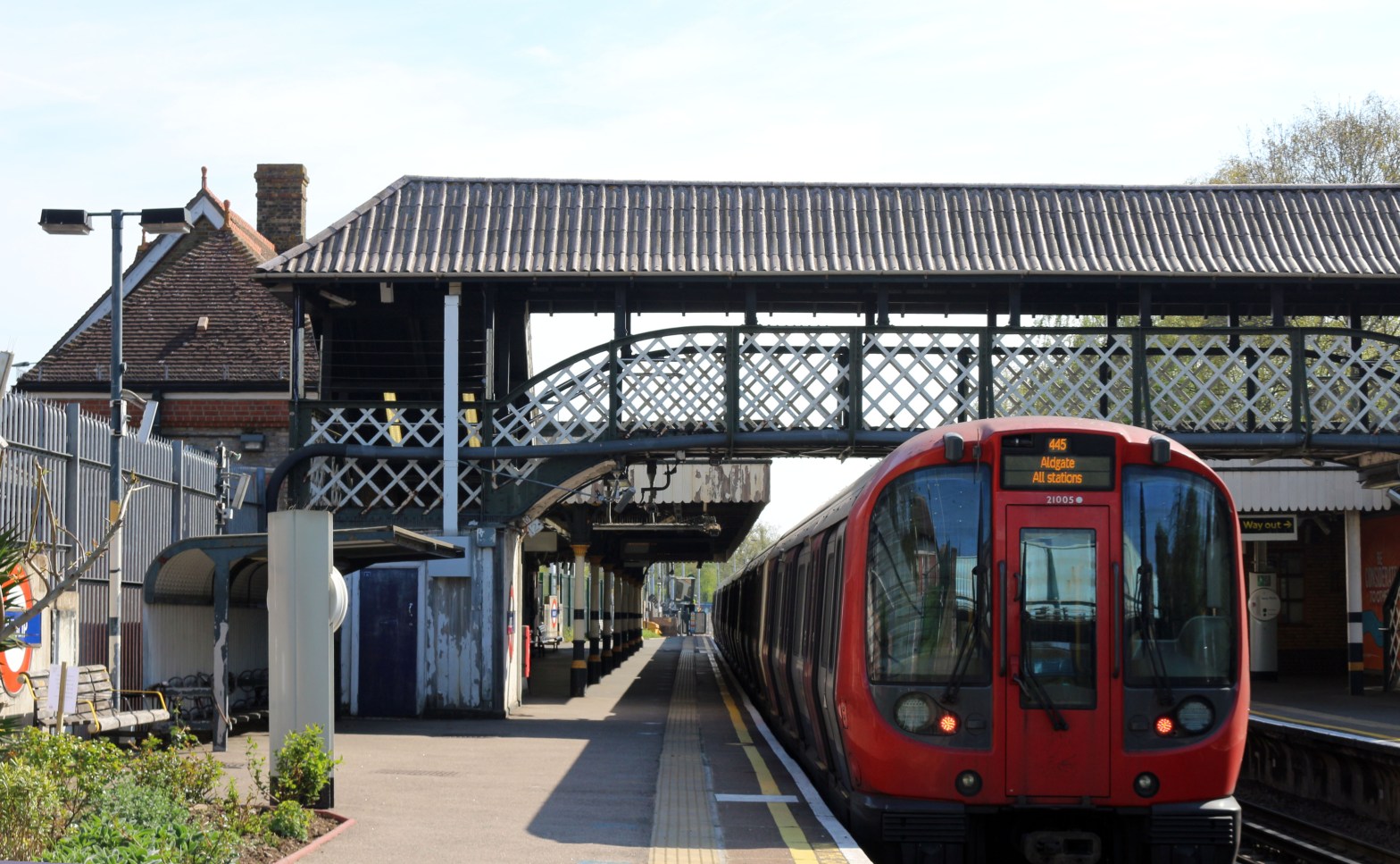
Yes, I have been here before. I have followed the book clockwise from Woolwich. This time, I decided to be contrary. Starting at the upstream crossing of the Thames at Richmond, I walked in the anticlockwise direction, via Crystal Palace, Woolwich, and Highgate to arrive back at Richmond. Of course, there is the same amount of ascent and descent whichever way you go round, but there were more occasions when I was glad to be going my way than when I wished I was going in the opposite direction. It starts with the blockbuster delights of Richmond Park and Wimbledon Common, and ends in generally graceful descent of the Brent Valley from Barn Hill (with the brutal exception of Football Lane, Harrow).

Abbey Mills Pumping Station, West Ham

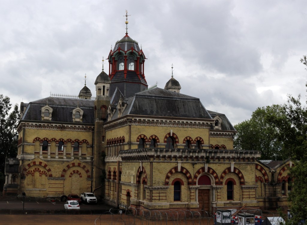
There are, though, one or two disappointments to be found, from the desecration of Brunel’s iconic Wharncliffe Viaduct in Hanwell to the closure of so many toilet blocks in parks (though in the north, this lack seems only to extend to gents’ facilities, with the distaff side still served). But the main anticlockwise gripe is to do with the waymarking.

Brent Reservoir (Welsh Harp) in the early morning

Yes, every cast-iron fingerpost points both ways, and nearly every waymark post does likewise (apart from those which have been stolen, of course). The problem, in a limited number of places, is in the positioning. The waymarks have been sited, it seems, with a clockwise route in mind, and then the anticlockwise arrow has been added. But there are places where the clockwise route forward is obvious, so no waymark; there are places where the clockwise route demands a decision, so a waymark is provided. But anticlockwise walkers have a bit harder to work, and more checking of maps. We are only talking of about twenty or thirty such locations, but it grates.

Crossover bridge near Osterley on the Grand Union Canal

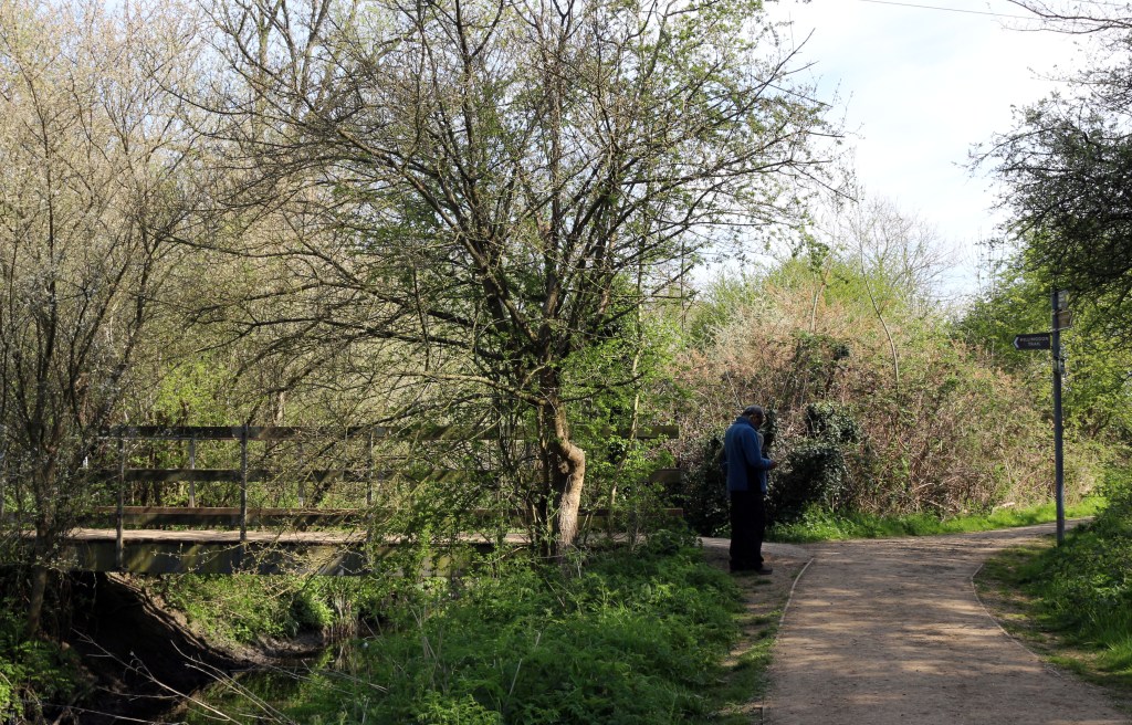
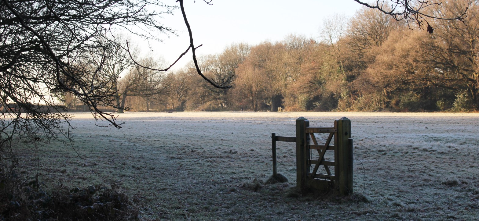
But these are minor gripes: it is a very fine walk. Even anticlockwise.

Back on track

Ruislip Tube station (no, not the Betjeman one, that was Ruislip Gardens, “Four-square upon the Central Line”, as Muir and Norden nearly wrote) may not be the most likely point of re-awakening, but it was the start of my first post-lockdown walk, the first wind-in-the-face and sunburn-on-the-arms outing — plus, it must be said, unshaven-chin-rasping-inside-the-mask — since … no, not since Coventry City won the FA Cup, but it feels like it.

HS2 goes through West Ruislip, and through the route of Peter Aylmer’s Ruislip Woods walk in his Walking in London book. My job today was to walk a diversion which kept clear of the HS2 works, continuing from the end of the diversion back home, a distance of 7.7km.

Footbridge over the River Pinn, Clack Lane

Not very far, but enough to start the rebuild: it represents almost half of my walking during lockdown. The Hillingdon Trail is similarly disrupted: the Borough has not amended its maps and directions, though there are some roadside diversion signs in key places — perhaps we should call its diversionary route HT2.

A mix of suburbia, green lanes, woodland, and the liminal secondary industry which clings to the edges of suburbia: waste management, car recycling and so on. Really good to be out, even so locally. Just after I arrived home, the guide-book for Elbsandsteingebirge came through the letterbox: still out of reach, but it should be a good read, the German language taxing my lockdown-shrunken brain.

Reviewing the Coal Tax Circuit

I started thinking of the “HS2 effect” on the route, but realised that the only impact will be a possible wait for the temporary traffic lights to change on the road between Harefield and Denham. I took the opportunity to make minor modifications to the section breaks.

However, having worked on a huge spreadsheet of connections and calculations for the coastal walk around England and Wales from Gretna Green to Berwick-upon-Tweed, I decided to do the same for the Coal Tax Circuit: the link is on the home page for the route. In order to follow the convention set up for the coastal route, I had to renumber the sections of the Coal Tax Circuit to give a zero-length section for the Shepperton Ferry. There are now 44 sections, up from the previous 42.

At the same time, I have upgraded the spreadsheet for the London Summits Walk.

New year, new updates

2021 carries on where 2020 leaves off. There are changes and closures, and I am trying to reflect these (where I know of them) in the walk narratives. I am tweaking typography as well as topography (well, topographic description) to make both editing and reading a bit easier. First up, the London Summits Walk has been given its spring-clean: demolished sighting-points and closed refreshment-points are removed, and typos and similar infelicities, where spotted, have been edited. The Coal Tax Circuit has been given a similar spruce-up, bringing internal consistency to the pages.

Armchair walking

The pandemic has curtailed my walking almost to zero: the 2019 Spring Bank Holiday weekend gave me more walking distance than the ten months since mid-February 2020. However, I have been walking, albeit sedentarily and in my mind, all year. I have been designing walks from 5km in length to 1500km in front of the screen, and I have acquired another bucketload of guides to read. In the past few weeks, these have included routes in UK and Netherlands, and sets of walks in UK and Germany: earlier in the year, routes and sets of walks in UK, France and Germany predominated.

I finally got round to cataloguing the books, mapsets and leaflets: the total now stands at 353; sixteen countries are represented, as are seven languages, in the collection. Of course, the route-notes are in a limited-vocabulary technical subset of the language of the book, so translation is less difficult than it might be, though one has to be able to distinguish between similar terms, such as rechtsaf and rechtdoor in Dutch (turn right and straight ahead respectively); you will agree that it an important distinction on approaching a junction.

So I have started reviewing some of the books for routes I have walked (from which I can judge accuracy of description) and those I have yet to walk (for clarity and persuasion). The nascent Books for Boots area on the site will gather in these reviews.